UN/LOCODE hub · Türkiye
TRUZU

Uzunköprü

41.2667°, 26.6833°
1
Transport functions

Transport Functions

Rail
UN/LOCODE

Hub Profile

Region
22
GeoNames

Location

Location of TRUZU
Natural Earth 10m (public domain) · 22 · TRUZU · 41.27, 26.68GoogleOSMYandex

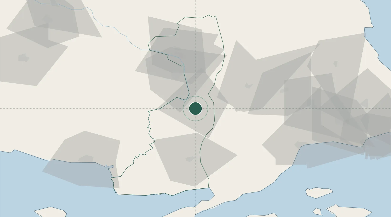
Nearby Logistics Neighbours

Cities
  1. 1Souflíon32 km
  2. 2Tekirdag76 km
  3. 3Néa Sánda79 km
  4. 4Enez80 km
  5. 5Lyubimets82 km
Nearest neighbours — logibook spatial index (haversine) over the source coordinates
Ports
  1. 1Tekirdag77 km
  2. 2Alexandroupoli83 km
  3. 3Gelibolu96 km
  4. 4Karabiga110 km
  5. 5Eceabat123 km
Nearest neighbours — logibook spatial index (haversine) over the source coordinates
Airports
  1. 1Keşan Air Base54 km
  2. 2Alexandroupoli Democritus Airport76 km
  3. 3Tekirdağ Çorlu Airport104 km
  4. 4Çanakkale Airport127 km
  5. 5Bezmer Air Base135 km
Nearest neighbours — logibook spatial index (haversine) over the source coordinates
Trade Zones
  1. 1Svilengrad Free Economic Zone69 km
  2. 2Kirklareli Organized Industrial Zone72 km
  3. 3European Free Zone94 km
  4. 4Cerkezkoy Organized Industrial Zone108 km
  5. 5Istanbul Tracia Free Zone151 km
Nearest neighbours — logibook spatial index (haversine) over the source coordinates
DatabookThe Record of Consolidated Knowledge
Türkiye beyond logistics?
Browse databook

All Sources

LocationsUN/LOCODE
UN/LOCODE — free
Portsthe NGA World Port Index
Public domain (US gov)
AirportsOurAirports
Public domain
Trade Zonesthe World Bank SEZ database
CC BY 4.0
Trade ZonesOpen Zone Map
CC BY
← Türkiye locations