UN/LOCODE hub · Türkiye
TRENE

Enez

40.7167°, 26.0667°
4,119
Population
1
Transport functions

Transport Functions

Port
UN/LOCODE

Hub Profile

Place type
Provincial seat
GeoNames
Region
Edirne
GeoNames
Population
4,119
GeoNames
Time zone
Europe/Istanbul
GeoNames
Elevation
16 m
GeoNames

Location

Location of TRENE
Natural Earth 10m (public domain) · Edirne · TRENE · 40.72, 26.07GoogleOSMYandex

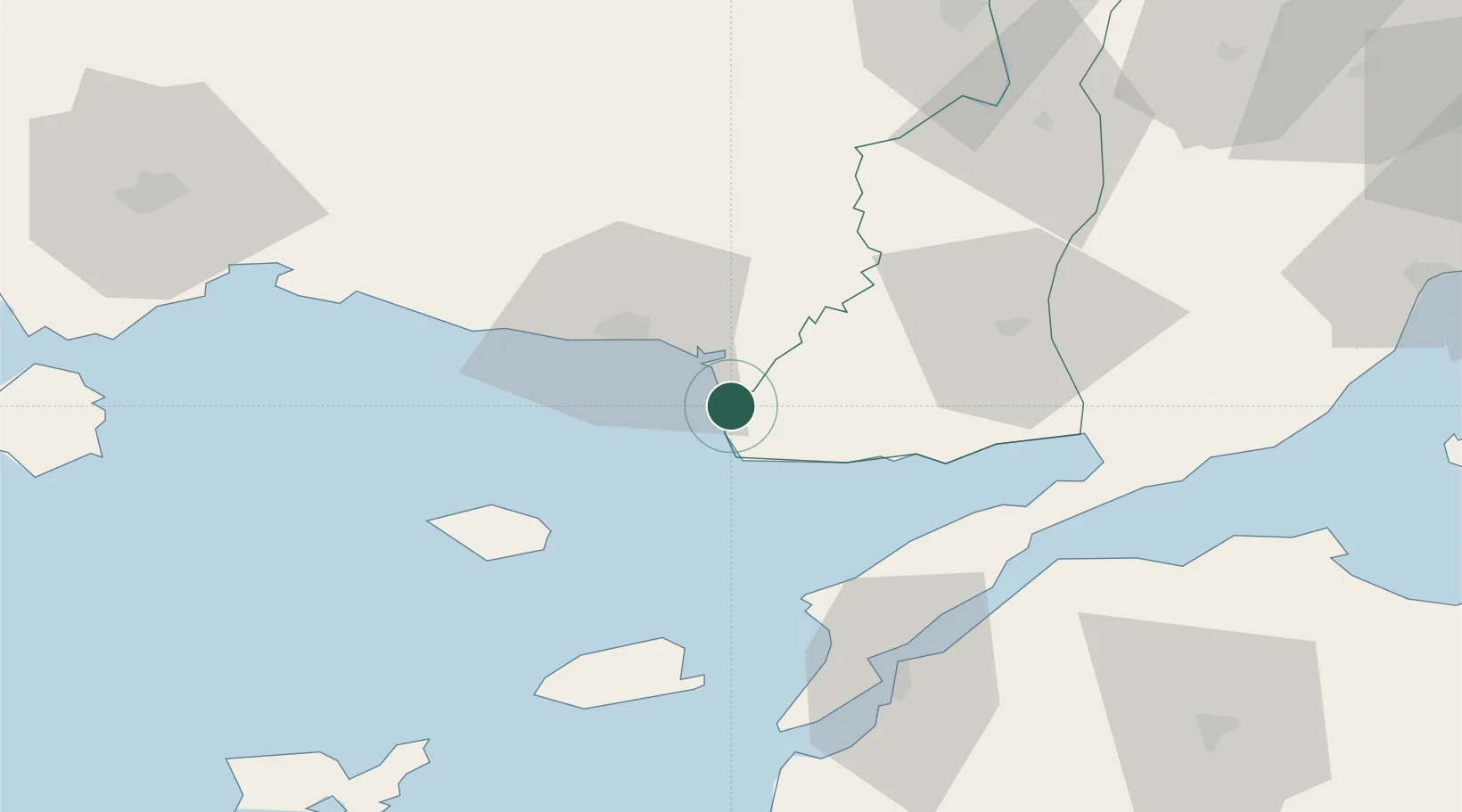
Nearby Logistics Neighbours

Cities
  1. 1Alexandroúpolis22 km
  2. 2Néa Sánda50 km
  3. 3Samothráki53 km
  4. 4Souflíon58 km
  5. 5Gokceada61 km
Nearest neighbours — logibook spatial index (haversine) over the source coordinates
Ports
  1. 1Alexandroupoli20 km
  2. 2Gelibolu62 km
  3. 3Eceabat65 km
  4. 4Canakkale69 km
  5. 5Lagos85 km
Nearest neighbours — logibook spatial index (haversine) over the source coordinates
Airports
  1. 1Alexandroupoli Democritus Airport18 km
  2. 2Keşan Air Base46 km
  3. 3Çanakkale Airport71 km
  4. 4Limnos Airport113 km
  5. 5Kavala Alexander the Great International Airport124 km
Nearest neighbours — logibook spatial index (haversine) over the source coordinates
Trade Zones
  1. 1Svilengrad Free Economic Zone117 km
  2. 2Kirklareli Organized Industrial Zone152 km
  3. 3European Free Zone159 km
  4. 4Cerkezkoy Organized Industrial Zone172 km
  5. 5Kuklen Industrial and Commercial Zone182 km
Nearest neighbours — logibook spatial index (haversine) over the source coordinates
DatabookThe Record of Consolidated Knowledge
Türkiye beyond logistics?
Browse databook

All Sources

LocationsUN/LOCODE
UN/LOCODE — free
LocationsGeoNames
CC BY 4.0
Portsthe NGA World Port Index
Public domain (US gov)
AirportsOurAirports
Public domain
Trade Zonesthe World Bank SEZ database
CC BY 4.0
Trade ZonesOpen Zone Map
CC BY
← Türkiye locations