UN/LOCODE hub · Greece
GRGBB

Néa Sánda

41.1000°, 25.7667°
2
Transport functions

Transport Functions

Road
Multimodal
UN/LOCODE

Hub Profile

Region
73
GeoNames

Location

Location of GRGBB
Natural Earth 10m (public domain) · 73 · GRGBB · 41.10, 25.77GoogleOSMYandex

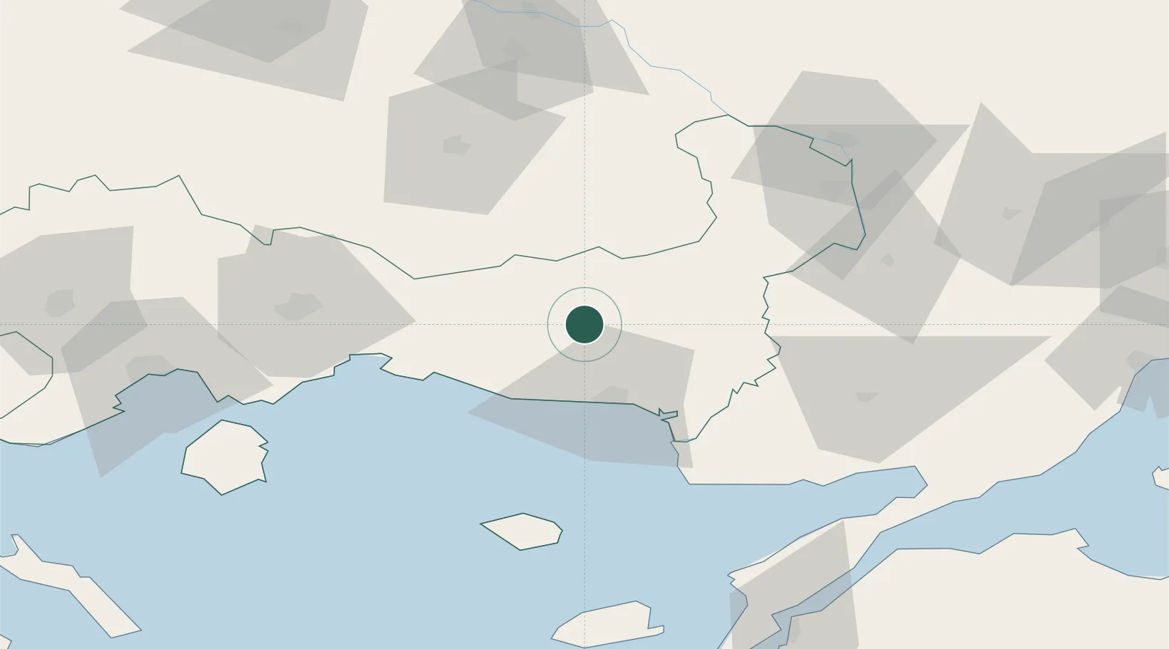
Nearby Logistics Neighbours

Cities
  1. 1Alexandroúpolis29 km
  2. 2Souflíon47 km
  3. 3Enez50 km
  4. 4Lágos (Pórto-Lágo)55 km
  5. 5Samothráki72 km
Nearest neighbours — logibook spatial index (haversine) over the source coordinates
Ports
  1. 1Alexandroupoli31 km
  2. 2Lagos54 km
  3. 3Gelibolu109 km
  4. 4Eceabat114 km
  5. 5Kavala116 km
Nearest neighbours — logibook spatial index (haversine) over the source coordinates
Airports
  1. 1Alexandroupoli Democritus Airport32 km
  2. 2Keşan Air Base79 km
  3. 3Kavala Alexander the Great International Airport99 km
  4. 4Çanakkale Airport121 km
  5. 5Plovdiv International Airport132 km
Nearest neighbours — logibook spatial index (haversine) over the source coordinates
Trade Zones
  1. 1Svilengrad Free Economic Zone82 km
  2. 2Kuklen Industrial and Commercial Zone132 km
  3. 3Trakia Economic Zone144 km
  4. 4Kirklareli Organized Industrial Zone147 km
  5. 5Maritsa Industrial and Commercial Zone149 km
Nearest neighbours — logibook spatial index (haversine) over the source coordinates
DatabookThe Record of Consolidated Knowledge
Greece beyond logistics?
Browse databook

All Sources

LocationsUN/LOCODE
UN/LOCODE — free
Portsthe NGA World Port Index
Public domain (US gov)
AirportsOurAirports
Public domain
Trade Zonesthe World Bank SEZ database
CC BY 4.0
Trade ZonesOpen Zone Map
CC BY
← Greece locations