Medium airport · Greece
Alexandroupoli Democritus AirportLGAL
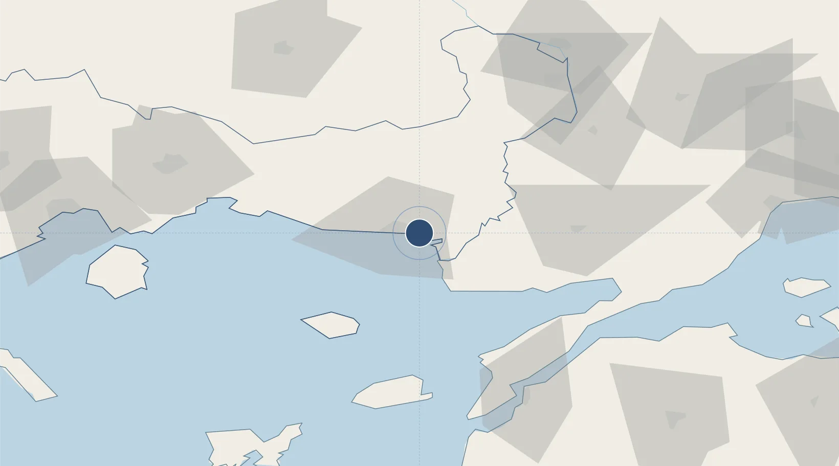
40.8559°, 25.9563°
8,471 ft
Longest runway
1
Runways
24 ft
Elevation
Runway & Layout

Radio Frequencies
TWR
123.8 MHz
ALEXANDROUPOLIS TWR
APP
123.8 MHz
ALEXANDROUPOLIS APP
A/G
563.7 MHz
ALEXANDROUPOLIS RDO
Navaids
ALP NDB Alexandroupolis 351 kHz
ALX VOR-DME Alexandroupolis 113.80 MHz
Runways · 1
| Runway | Dimensions | Surface | True heading | Lit |
|---|---|---|---|---|
| 07/25 | 8,471 × 148ft | Asphalt | 073° | ✓ |
Airport Specifications
IATA code
AXD
ICAO code
LGAL
Airport class
Medium airport
Scheduled service
Yes
Runway surface
Asphalt
Served city
Alexandroupolis
Location
Nearby Logistics Neighbours
Airports
- 1Keşan Air Base55 km
- 2Çanakkale Airport89 km
- 3Kavala Alexander the Great International Airport113 km
- 4Limnos Airport121 km
- 5Plovdiv International Airport163 km
Cities
- 1Alexandroúpolis8 km
- 2Enez18 km
- 3Néa Sánda32 km
- 4Souflíon49 km
- 5Samothráki56 km
Ports
- 1Alexandroupoli7 km
- 2Lagos71 km
- 3Gelibolu79 km
- 4Eceabat82 km
- 5Canakkale87 km
Trade Zones
- 1Svilengrad Free Economic Zone103 km
- 2Kirklareli Organized Industrial Zone148 km
- 3European Free Zone162 km
- 4Kuklen Industrial and Commercial Zone164 km
- 5Trakia Economic Zone175 km
DatabookThe Record of Consolidated Knowledge
Greece beyond logistics?