Medium airport · Bulgaria

Bezmer Air BaseBG-JAM
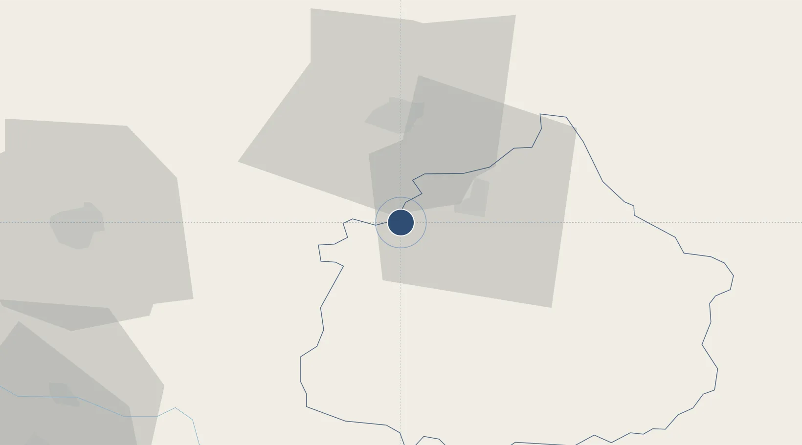
42.4549°, 26.3522°
8,193 ft
Longest runway
1
Runways
509 ft
Elevation

Runway & Layout

Bezmer Air Base runway & taxiway layout
Runway & taxiway layout — OpenStreetMap (ODbL) / OurAirports

Runways · 1

RunwayDimensions SurfaceTrue headingLit
12/30 8,193 × 260ft Concrete 119°
OurAirports

Airport Specifications

IATA code
JAM
OurAirports
ICAO code
LBIA
OurAirports
Airport class
Medium airport
OurAirports
Scheduled service
No
OurAirports
Runway surface
Concrete
OurAirports
Served city
Bezmer
OurAirports

Location

Location of BG-JAM
Natural Earth 10m (public domain) · Yambol · BG-JAM · 42.45, 26.35GoogleOSMYandex

Nearby Logistics Neighbours

Airports
  1. 1Gorna Oryahovitsa Airport93 km
  2. 2Burgas Airport96 km
  3. 3Plovdiv International Airport131 km
  4. 4Graf Ignatievo Air Base136 km
  5. 5Varna Airport148 km
Nearest neighbours — logibook spatial index (haversine) over the source coordinates
Cities
  1. 1Straldzha32 km
  2. 2Elkhovo37 km
  3. 3Venets42 km
  4. 4Gurkovo51 km
  5. 5Kharmanli69 km
Nearest neighbours — logibook spatial index (haversine) over the source coordinates
Ports
  1. 1Burgas93 km
  2. 2Varna155 km
  3. 3Alexandroupoli185 km
  4. 4Tekirdag190 km
  5. 5Lagos191 km
Nearest neighbours — logibook spatial index (haversine) over the source coordinates
Trade Zones
  1. 1Svilengrad Free Economic Zone78 km
  2. 2Bourgas Free Economic Zone87 km
  3. 3Kirklareli Organized Industrial Zone118 km
  4. 4Maritsa Industrial and Commercial Zone134 km
  5. 5Trakia Economic Zone135 km
Nearest neighbours — logibook spatial index (haversine) over the source coordinates
DatabookThe Record of Consolidated Knowledge
Bulgaria beyond logistics?
Browse databook

All Sources

AirportsOurAirports
Public domain
Portsthe NGA World Port Index
Public domain (US gov)
LocationsUN/LOCODE
UN/LOCODE — free
Trade Zonesthe World Bank SEZ database
CC BY 4.0
Trade ZonesOpen Zone Map
CC BY
InfrastructureOpenStreetMap
ODbL 1.0
← Bulgaria airports