Medium airport · Türkiye

Çanakkale AirportLTBH
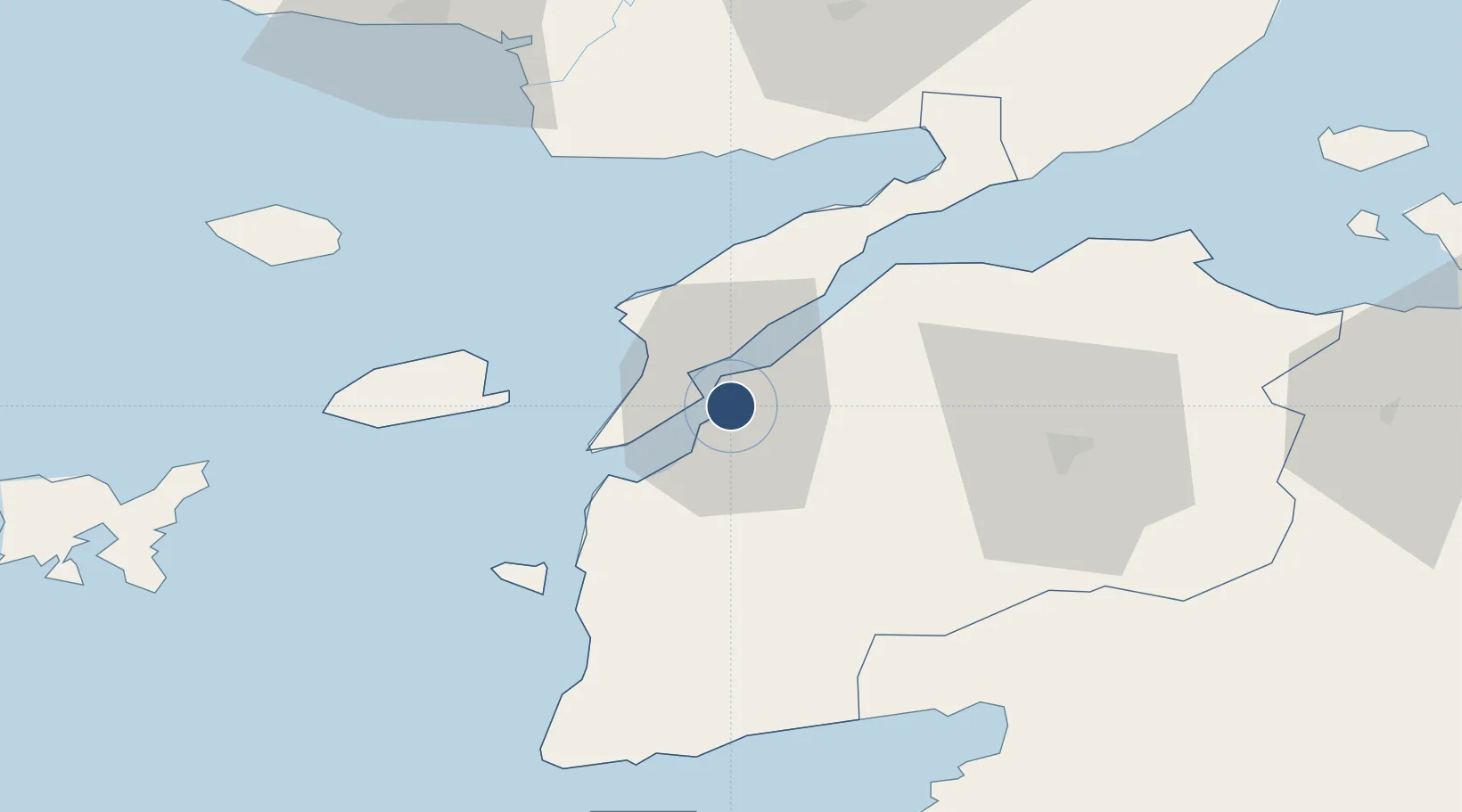
40.1377°, 26.4268°
7,710 ft
Longest runway
1
Runways
23 ft
Elevation

Runway & Layout

Çanakkale Airport runway & taxiway layout
Runway & taxiway layout — OpenStreetMap (ODbL) / OurAirports

Radio Frequencies

TWR
123.6 MHz
APP
122.1 MHz
YESILKOY APP
OurAirports

Navaids

CNK VOR-DME Canakkale 111.20 MHz
CNK NDB Canakkale 422 kHz
OurAirports

Runways · 1

RunwayDimensions SurfaceTrue headingLit
04/22 7,710 × 148ft Concrete 041°
OurAirports

Airport Specifications

IATA code
CKZ
OurAirports
ICAO code
LTBH
OurAirports
Airport class
Medium airport
OurAirports
Scheduled service
Yes
OurAirports
Runway surface
Concrete
OurAirports
Served city
Çanakkale
OurAirports

Location

Location of LTBH
Natural Earth 10m (public domain) · Çanakkale · LTBH · 40.14, 26.43GoogleOSMYandex

Nearby Logistics Neighbours

Airports
  1. 1Keşan Air Base74 km
  2. 2Balıkesir Koca Seyit Airport82 km
  3. 3Alexandroupoli Democritus Airport89 km
  4. 4Limnos Airport104 km
  5. 5Mytilene International Airport121 km
Nearest neighbours — logibook spatial index (haversine) over the source coordinates
Cities
  1. 1Çanakkale3 km
  2. 2Akcansa6 km
  3. 3Gokceada44 km
  4. 4Bozcaada46 km
  5. 5Enez71 km
Nearest neighbours — logibook spatial index (haversine) over the source coordinates
Ports
  1. 1Canakkale3 km
  2. 2Eceabat7 km
  3. 3Gelibolu36 km
  4. 4Karabiga81 km
  5. 5Alexandroupoli90 km
Nearest neighbours — logibook spatial index (haversine) over the source coordinates
Trade Zones
  1. 1Balikesir Organized Industrial Zone135 km
  2. 2Aliaga Kimya Ihtisas ve Karma Organized Industrial Zone156 km
  3. 3Mustafakemalpasa Organized Industrial Zone161 km
  4. 4European Free Zone172 km
  5. 5Izmir Free Zone175 km
Nearest neighbours — logibook spatial index (haversine) over the source coordinates
DatabookThe Record of Consolidated Knowledge
Türkiye beyond logistics?
Browse databook

All Sources

AirportsOurAirports
Public domain
Portsthe NGA World Port Index
Public domain (US gov)
LocationsUN/LOCODE
UN/LOCODE — free
Trade Zonesthe World Bank SEZ database
CC BY 4.0
Trade ZonesOpen Zone Map
CC BY
InfrastructureOpenStreetMap
ODbL 1.0
← Türkiye airports