Transport Functions
Rail
Road
Hub Profile
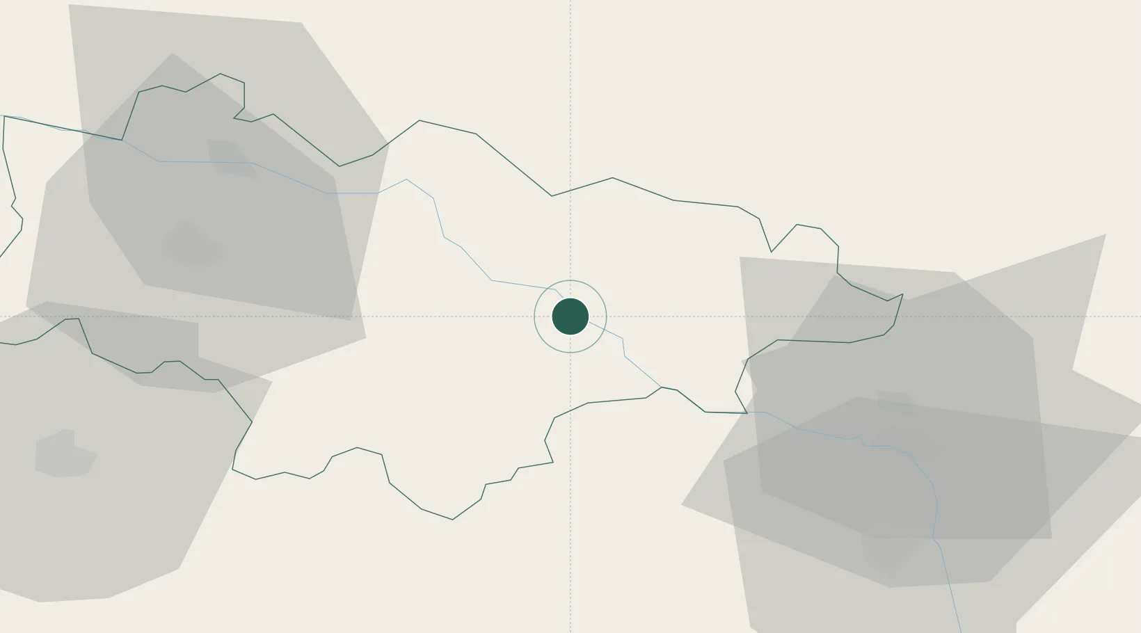
Place type
Populated place
Region
Haskovo
Population
8,065
Time zone
Europe/Sofia
Elevation
60 m
Location
Nearby Logistics Neighbours
Ports
- 1Alexandroupoli114 km
- 2Lagos123 km
- 3Burgas135 km
- 4Tekirdag154 km
- 5Gelibolu169 km
Airports
- 1Bezmer Air Base71 km
- 2Plovdiv International Airport105 km
- 3Alexandroupoli Democritus Airport111 km
- 4Graf Ignatievo Air Base123 km
- 5Keşan Air Base126 km
Trade Zones
DatabookThe Record of Consolidated Knowledge
Bulgaria beyond logistics?