UN/LOCODE hub · Greece
GRSFN

Souflíon

41.2000°, 26.3167°
3
Transport functions

Transport Functions

Port
Rail
Road
UN/LOCODE

Location

Location of GRSFN
Natural Earth 10m (public domain) · Anatoliki Makedonia kai Thraki · GRSFN · 41.20, 26.32GoogleOSMYandex

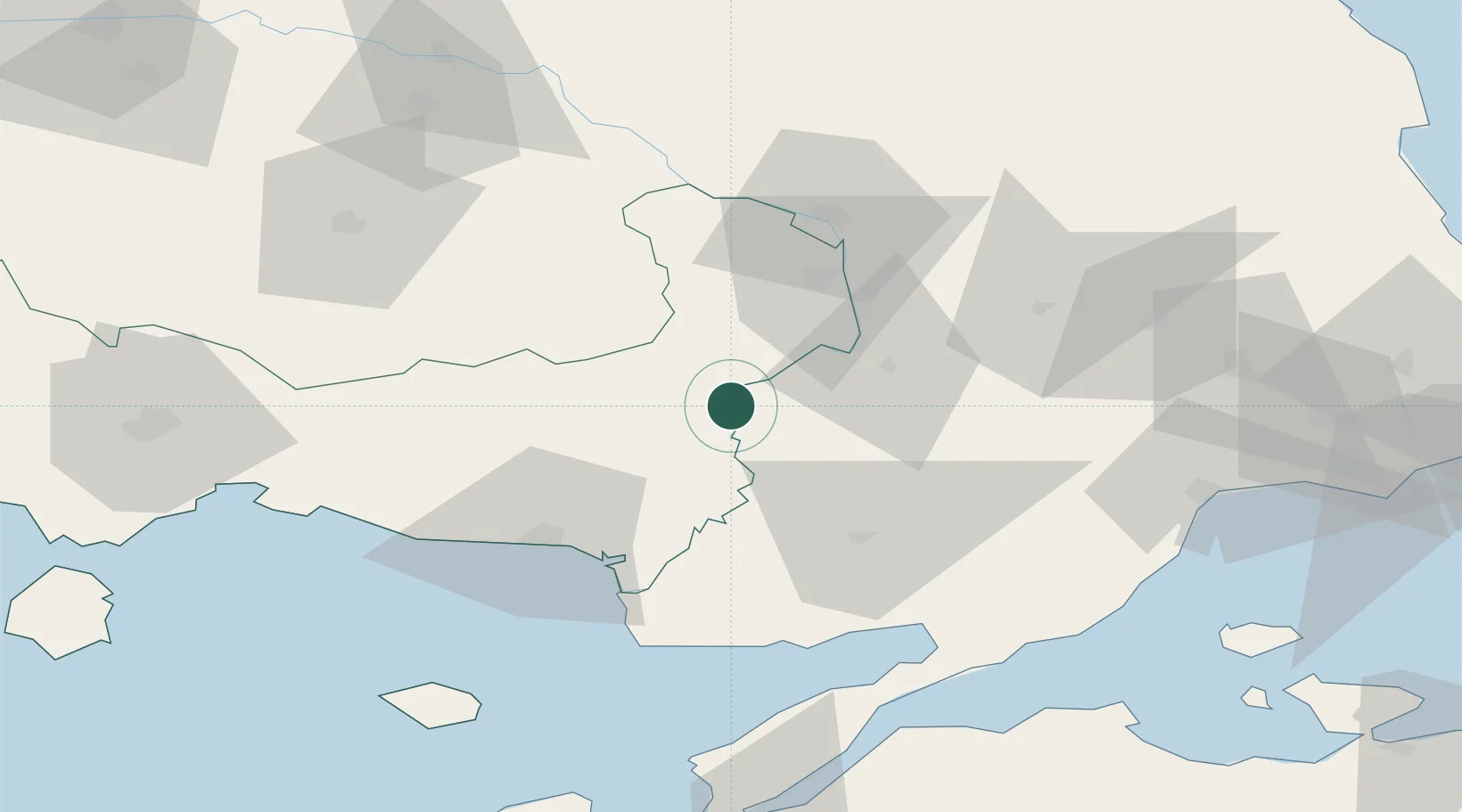
Nearby Logistics Neighbours

Cities
  1. 1Uzunköprü32 km
  2. 2Néa Sánda47 km
  3. 3Alexandroúpolis54 km
  4. 4Enez58 km
  5. 5Lyubimets75 km
Nearest neighbours — logibook spatial index (haversine) over the source coordinates
Ports
  1. 1Alexandroupoli55 km
  2. 2Gelibolu94 km
  3. 3Lagos102 km
  4. 4Tekirdag103 km
  5. 5Eceabat113 km
Nearest neighbours — logibook spatial index (haversine) over the source coordinates
Airports
  1. 1Alexandroupoli Democritus Airport49 km
  2. 2Keşan Air Base52 km
  3. 3Çanakkale Airport119 km
  4. 4Tekirdağ Çorlu Airport134 km
  5. 5Bezmer Air Base140 km
Nearest neighbours — logibook spatial index (haversine) over the source coordinates
Trade Zones
  1. 1Svilengrad Free Economic Zone64 km
  2. 2Kirklareli Organized Industrial Zone101 km
  3. 3European Free Zone125 km
  4. 4Cerkezkoy Organized Industrial Zone139 km
  5. 5Kuklen Industrial and Commercial Zone158 km
Nearest neighbours — logibook spatial index (haversine) over the source coordinates
DatabookThe Record of Consolidated Knowledge
Greece beyond logistics?
Browse databook

All Sources

LocationsUN/LOCODE
UN/LOCODE — free
Portsthe NGA World Port Index
Public domain (US gov)
AirportsOurAirports
Public domain
Trade Zonesthe World Bank SEZ database
CC BY 4.0
Trade ZonesOpen Zone Map
CC BY
← Greece locations