Transport Functions
Multimodal
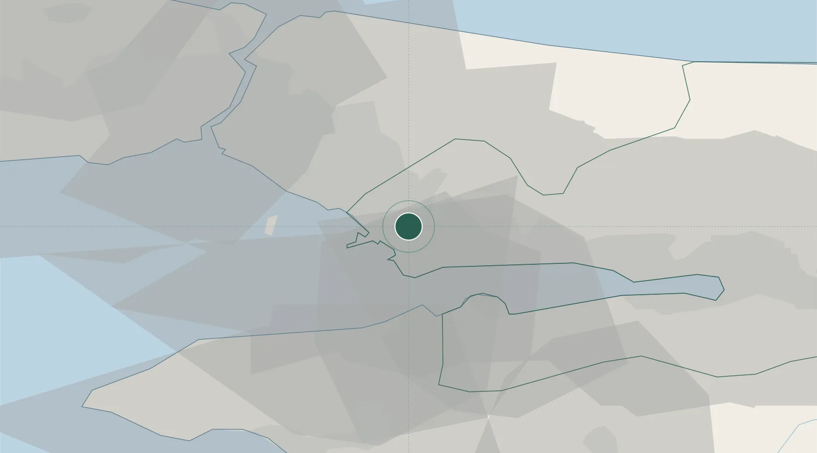
Hub Profile
Place type
Populated place
Region
Kocaeli
Time zone
Europe/Istanbul
Elevation
132 m
Location
Nearby Logistics Neighbours
Ports
- 1Gebze18 km
- 2Yarimca29 km
- 3Haydarpasa34 km
- 4Istanbul38 km
- 5Derince Burnu40 km
Airports
DatabookThe Record of Consolidated Knowledge
Türkiye beyond logistics?