Medium airport · Türkiye

Cengiz Topel AirportLTBQ
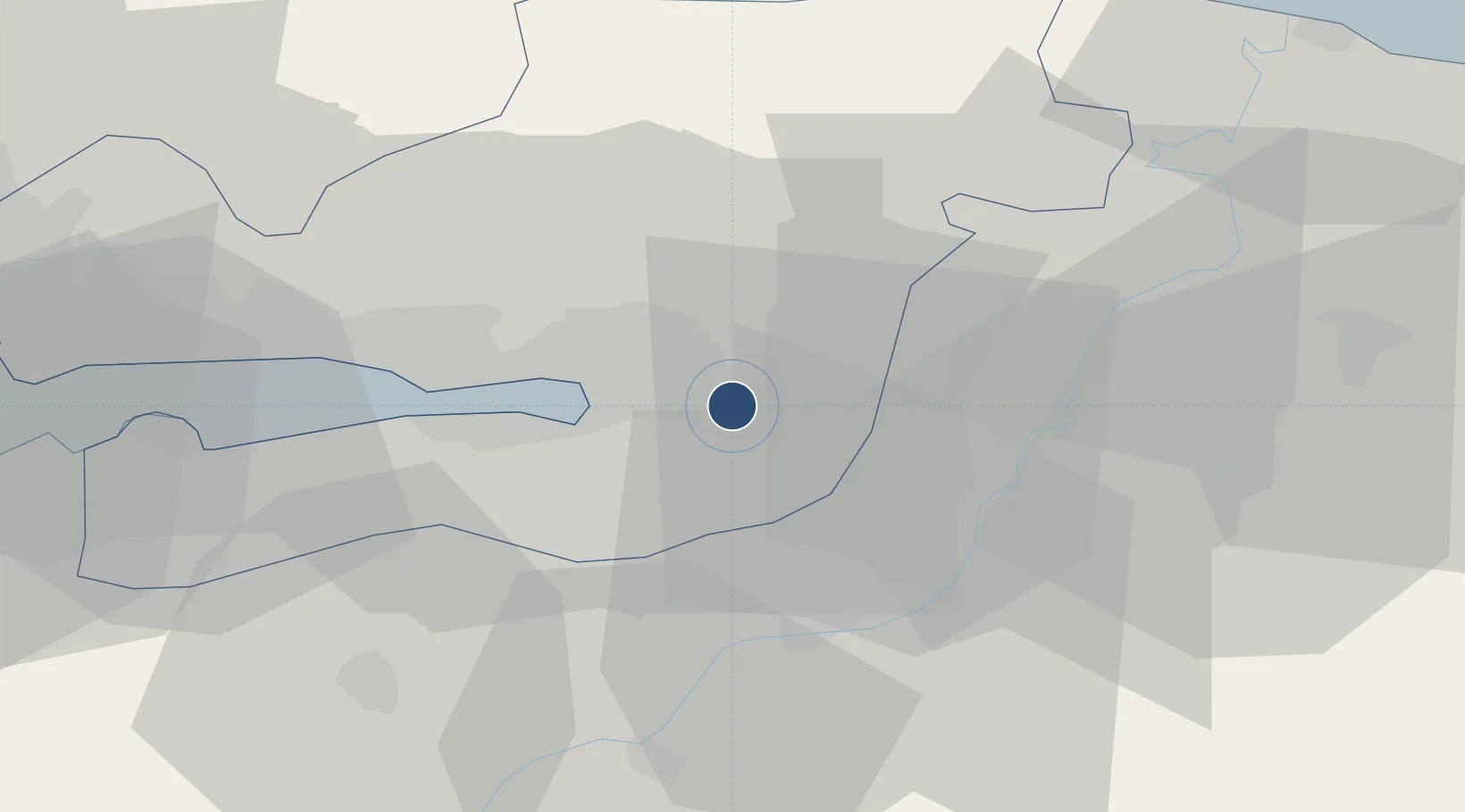
40.7350°, 30.0833°
9,842 ft
Longest runway
1
Runways
182 ft
Elevation

Runway & Layout

Cengiz Topel Airport runway & taxiway layout
Runway & taxiway layout — OpenStreetMap (ODbL) / OurAirports

Radio Frequencies

TWR
122.1 MHz
GND
121.95 MHz
APP
120.5 MHz
YESILKOY APP
OurAirports

Navaids

ARF TACAN Topel 113.90 MHz
ARF NDB Topel 384 kHz
OurAirports

Runways · 1

RunwayDimensions SurfaceTrue headingLit
09/27 9,842 × 98ft Asphalt 096°
OurAirports

Airport Specifications

IATA code
KCO
OurAirports
ICAO code
LTBQ
OurAirports
Airport class
Medium airport
OurAirports
Scheduled service
No
OurAirports
Runway surface
Asphalt
OurAirports
Served city
Kartepe
OurAirports

Location

Location of LTBQ
Natural Earth 10m (public domain) · Kocaeli · LTBQ · 40.74, 30.08GoogleOSMYandex

Nearby Logistics Neighbours

Airports
  1. 1Istanbul Sabiha Gökçen International Airport68 km
  2. 2Bursa Yenişehir Airport69 km
  3. 3İstanbul Samandıra Army Air Base78 km
  4. 4Hasan Polatkan Airport109 km
  5. 5İstanbul Atatürk Airport109 km
Nearest neighbours — logibook spatial index (haversine) over the source coordinates
Cities
  1. 1Uzuntarla6 km
  2. 2Kartepe10 km
  3. 3Yenikoy16 km
  4. 4Limas17 km
  5. 5Yeniköy-Autoport18 km
Nearest neighbours — logibook spatial index (haversine) over the source coordinates
Ports
  1. 1Izmit15 km
  2. 2Golcuk Burnu23 km
  3. 3Derince Burnu23 km
  4. 4Yarimca33 km
  5. 5Gebze45 km
Nearest neighbours — logibook spatial index (haversine) over the source coordinates
DatabookThe Record of Consolidated Knowledge
Türkiye beyond logistics?
Browse databook

All Sources

AirportsOurAirports
Public domain
Portsthe NGA World Port Index
Public domain (US gov)
LocationsUN/LOCODE
UN/LOCODE — free
Trade Zonesthe World Bank SEZ database
CC BY 4.0
Trade ZonesOpen Zone Map
CC BY
InfrastructureOpenStreetMap
ODbL 1.0
← Türkiye airports