UN/LOCODE hub · Türkiye
TRGEB
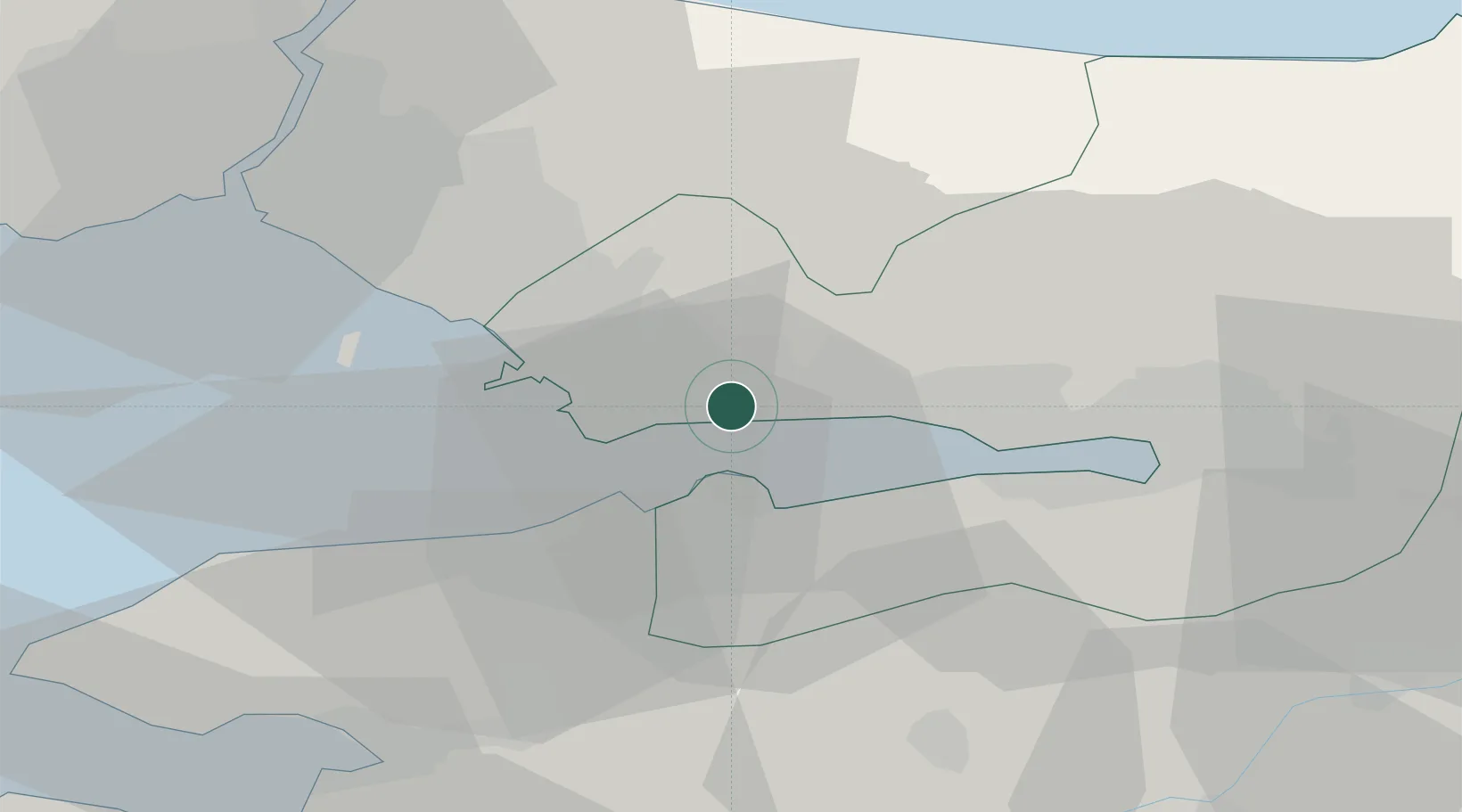
Gebze
40.7941°, 29.5049°
281,436
Population
3
Transport functions
1
Container terminals
Transport Functions
Port
Rail
Road
Hub Profile
Place type
Provincial seat
Region
Kocaeli
Population
281,436
Time zone
Europe/Istanbul
Elevation
182 m
Logistics facilities
6
Container terminals
1
Location
Nearby Logistics Neighbours
Cities
- 1Yilport4 km
- 2Altinova12 km
- 3Sekerpinar13 km
- 4Evyap Port /Kocaeli17 km
- 5Körfez18 km
Ports
- 1Yarimca16 km
- 2Derince Burnu27 km
- 3Golcuk Burnu27 km
- 4Izmit35 km
- 5Haydarpasa47 km
Airports
DatabookThe Record of Consolidated Knowledge
Türkiye beyond logistics?