Seaport · Türkiye
Derince BurnuTRDRC
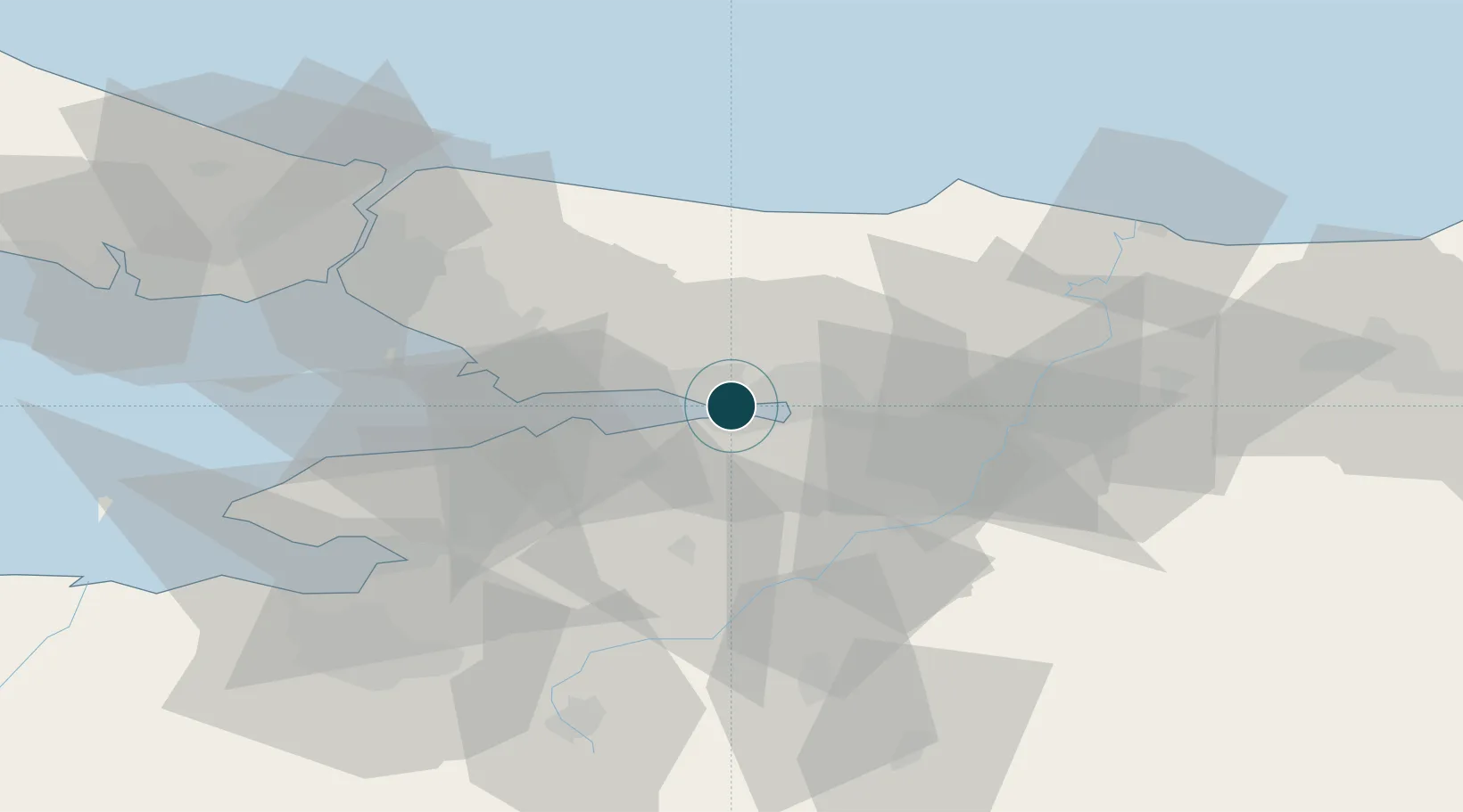
40.7500°, 29.8167°
4.9 m
Channel depth
1
Container terminals
86.9
Port liner connectivity
Channel & Berth Profile
Pilotage, Tugs & Services
Pilotage compulsoryYES
Pilotage availableYES
Tug assistanceYES
Salvage tugsNO
Shore powerYES
Potable waterYES
Diesel bunkersYES
MedicalYES
Garbage disposalYES
Facilities & Capabilities
Container—
Ro-Ro—
Liquid bulk—
Dry bulk—
Oil terminal—
Break bulk—
Dry dock—
RepairsNO
BunkeringYES
Rail linkYES
Dangerous cargo—
ISPS security—
Harbour Specifications
Harbour size
Small
Harbour type
Coastal (Breakwater)
Shelter
Fair
Water body
Sea of Marmara; Mediterranean Sea; North Atlantic Ocean
Pilotage
Yes
Liner Connectivity
86.9
PLSCI
Port Liner Shipping Connectivity Index for Derince Burnu, as published by UNCTAD for the latest available quarter. Higher values indicate stronger scheduled liner-shipping integration.
Shown relative to the highest per-port PLSCI in the dataset (1,657.9).
Location
Container Terminals · 1
SAFIPORT DERINCE CONTAINER TERMINAL
SAFI SAFI DERINCE ULUSLARARASI LIMAN ISLETMECILIGI A.S.
Nearby Logistics Neighbours
Ports
- 1Golcuk Burnu2 km
- 2Izmit9 km
- 3Yarimca11 km
- 4Gebze23 km
- 5Gemlik70 km
Cities
- 1Yeniköy-Autoport6 km
- 2Izmit6 km
- 3Yarimca6 km
- 4Limas7 km
- 5Yenikoy9 km
Airports
DatabookThe Record of Consolidated Knowledge
Türkiye beyond logistics?