UN/LOCODE hub · Türkiye
TR9AK

Pasaköy

41.0167°, 29.2667°
2
Transport functions

Transport Functions

Port
Road
UN/LOCODE

Hub Profile

Region
34
GeoNames

Location

Location of TR9AK
Natural Earth 10m (public domain) · 34 · TR9AK · 41.02, 29.27GoogleOSMYandex

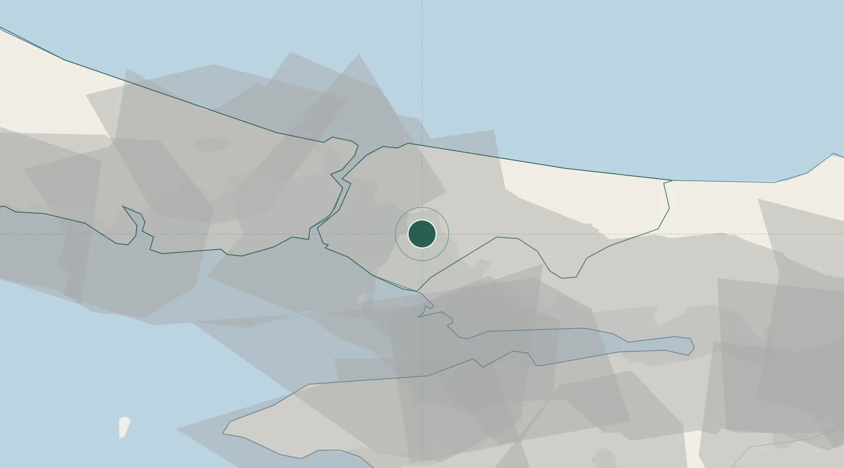
Nearby Logistics Neighbours

Cities
  1. 1Yayalar15 km
  2. 2Haydarpasa15 km
  3. 3Üsküdar18 km
  4. 4Beylerbeyi19 km
  5. 5Tuzla20 km
Nearest neighbours — logibook spatial index (haversine) over the source coordinates
Ports
  1. 1Haydarpasa21 km
  2. 2Istinye21 km
  3. 3Istanbul25 km
  4. 4Gebze37 km
  5. 5Yarimca44 km
Nearest neighbours — logibook spatial index (haversine) over the source coordinates
Airports
  1. 1İstanbul Samandıra Army Air Base5 km
  2. 2Istanbul Sabiha Gökçen International Airport14 km
  3. 3İstanbul Atatürk Airport38 km
  4. 4İstanbul Airport53 km
  5. 5Cengiz Topel Airport76 km
Nearest neighbours — logibook spatial index (haversine) over the source coordinates
Trade Zones
  1. 1Istanbul Leather Industry Free Zone18 km
  2. 2Istanbul Stock Exchange Free Zone22 km
  3. 3Gebze Organized Industrial Zone23 km
  4. 4TUBITAK Technology Free Zone and Technopark30 km
  5. 5TÜBā°TAK Technology Free Zone and Technopark30 km
Nearest neighbours — logibook spatial index (haversine) over the source coordinates
DatabookThe Record of Consolidated Knowledge
Türkiye beyond logistics?
Browse databook

All Sources

LocationsUN/LOCODE
UN/LOCODE — free
Portsthe NGA World Port Index
Public domain (US gov)
AirportsOurAirports
Public domain
Trade Zonesthe World Bank SEZ database
CC BY 4.0
Trade ZonesOpen Zone Map
CC BY
← Türkiye locations