Transport Functions
Multimodal
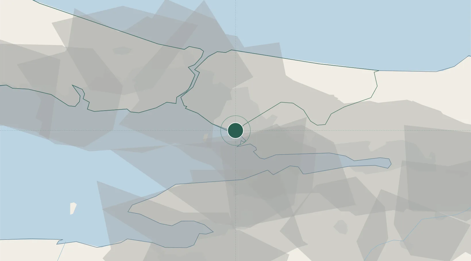
Hub Profile
Place type
Populated place
Region
Istanbul
Time zone
Europe/Istanbul
Elevation
135 m
Location
Nearby Logistics Neighbours
Cities
- 1Tuzla6 km
- 2Sekerpinar11 km
- 3Pasaköy15 km
- 4Haydarpasa19 km
- 5Kiziltoprak21 km
Ports
- 1Haydarpasa24 km
- 2Istanbul28 km
- 3Gebze28 km
- 4Istinye31 km
- 5Yarimca39 km
Airports
DatabookThe Record of Consolidated Knowledge
Türkiye beyond logistics?