Transport Functions
Port
Hub Profile
Place type
Populated place
Region
Istanbul
Time zone
Europe/Istanbul
Elevation
8 m
Logistics facilities
1
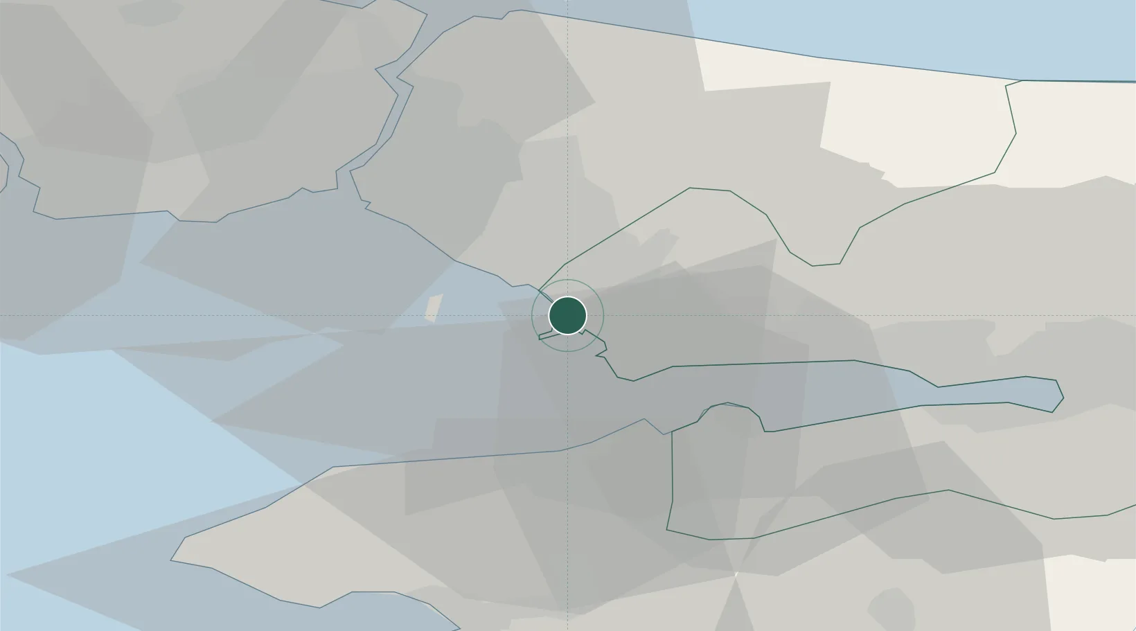
Location
Nearby Logistics Neighbours
Cities
- 1Yayalar6 km
- 2Sekerpinar6 km
- 3Gebze19 km
- 4Pasaköy20 km
- 5Yalova22 km
Ports
- 1Gebze23 km
- 2Haydarpasa29 km
- 3Istanbul34 km
- 4Yarimca35 km
- 5Istinye37 km
Airports
DatabookThe Record of Consolidated Knowledge
Türkiye beyond logistics?