Medium airport · Türkiye

Bursa Yenişehir AirportLTBR
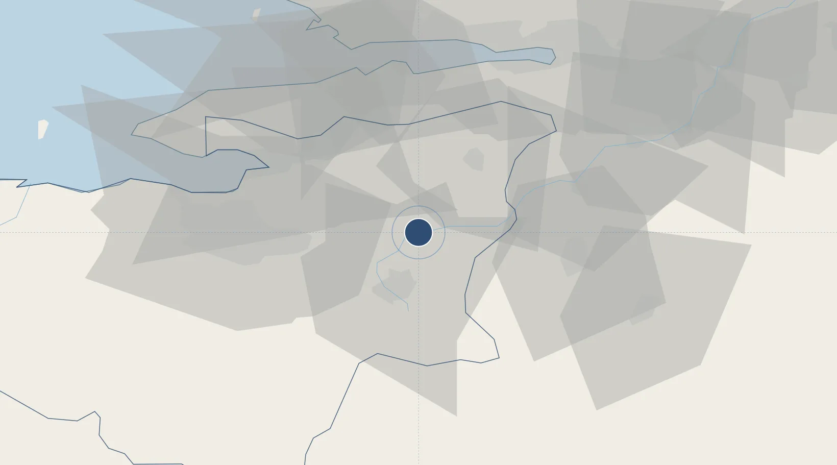
40.2552°, 29.5626°
9,818 ft
Longest runway
2
Runways
764 ft
Elevation

Runway & Layout

Bursa Yenişehir Airport runway & taxiway layout
Runway & taxiway layout — OpenStreetMap (ODbL) / OurAirports

Radio Frequencies

TWR
122.1 MHz
TWR/APP
GND
121.95 MHz
APP
120.325 MHz
OurAirports

Navaids

BRY VOR-DME Yenisehir 115.30 MHz
BRY NDB Yenisehir 352 kHz
YEN TACAN Yenisehir 113.20 MHz
OurAirports

Runways · 2

RunwayDimensions SurfaceTrue headingLit
07L/25R 9,818 × 148ft Concrete 074°
07R/25L 9,818 × 98ft Concrete 075°
OurAirports

Airport Specifications

IATA code
YEI
OurAirports
ICAO code
LTBR
OurAirports
Airport class
Medium airport
OurAirports
Scheduled service
Yes
OurAirports
Runway surface
Concrete
OurAirports
Served city
Yenişehir
OurAirports

Location

Location of LTBR
Natural Earth 10m (public domain) · Bursa · LTBR · 40.26, 29.56GoogleOSMYandex

Nearby Logistics Neighbours

Airports
  1. 1Cengiz Topel Airport69 km
  2. 2Istanbul Sabiha Gökçen International Airport75 km
  3. 3İstanbul Samandıra Army Air Base87 km
  4. 4Hasan Polatkan Airport95 km
  5. 5Kütahya Airport100 km
Nearest neighbours — logibook spatial index (haversine) over the source coordinates
Cities
  1. 1Gemlik41 km
  2. 2Altinova48 km
  3. 3Yalova51 km
  4. 4Yilport57 km
  5. 5Yenikoy57 km
Nearest neighbours — logibook spatial index (haversine) over the source coordinates
Ports
  1. 1Gemlik42 km
  2. 2Gebze57 km
  3. 3Golcuk Burnu57 km
  4. 4Derince Burnu59 km
  5. 5Mudanya59 km
Nearest neighbours — logibook spatial index (haversine) over the source coordinates
Trade Zones
  1. 1Inegol Organized Industrial Zone18 km
  2. 2Bursa Free Zone42 km
  3. 3Demirtas Organized Industrial Zone42 km
  4. 4Bursa Organized Industrial Zone52 km
  5. 5Nilufer Organized Industrial Zone54 km
Nearest neighbours — logibook spatial index (haversine) over the source coordinates
DatabookThe Record of Consolidated Knowledge
Türkiye beyond logistics?
Browse databook

All Sources

AirportsOurAirports
Public domain
Portsthe NGA World Port Index
Public domain (US gov)
LocationsUN/LOCODE
UN/LOCODE — free
Trade Zonesthe World Bank SEZ database
CC BY 4.0
Trade ZonesOpen Zone Map
CC BY
InfrastructureOpenStreetMap
ODbL 1.0
← Türkiye airports