Medium airport · Türkiye

Balıkesir AirportLTBF
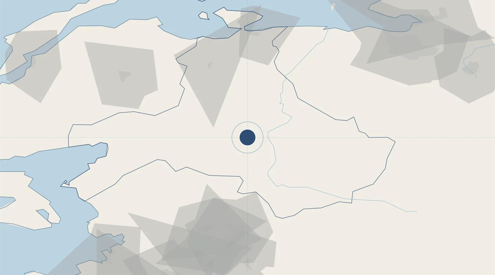
39.6193°, 27.9260°
9,810 ft
Longest runway
1
Runways
340 ft
Elevation

Runway & Layout

Balıkesir Airport runway & taxiway layout
Runway & taxiway layout — OpenStreetMap (ODbL) / OurAirports

Radio Frequencies

ATIS
23.36 MHz
INFO
TWR
122.1 MHz
GND
25.125 MHz
APP
122.1 MHz
OurAirports

Navaids

BRI TACAN Balikesir 110.60 MHz
OurAirports

Runways · 1

RunwayDimensions SurfaceTrue headingLit
18/36 9,810 × 144ft Asphalt 182°
OurAirports

Airport Specifications

IATA code
BZI
OurAirports
ICAO code
LTBF
OurAirports
Airport class
Medium airport
OurAirports
Scheduled service
Yes
OurAirports
Runway surface
Asphalt
OurAirports
Served city
Balıkesir
OurAirports

Location

Location of LTBF
Natural Earth 10m (public domain) · Balikesir · LTBF · 39.62, 27.93GoogleOSMYandex

Nearby Logistics Neighbours

Airports
  1. 1Bandırma Airport78 km
  2. 2Balıkesir Koca Seyit Airport79 km
  3. 3Akhisar Airport / Akhisar Air Base91 km
  4. 4Mytilene International Airport130 km
  5. 5Çanakkale Airport140 km
Nearest neighbours — logibook spatial index (haversine) over the source coordinates
Cities
  1. 1Edremit78 km
  2. 2Bandirma82 km
  3. 3Akçay85 km
  4. 4Erdek86 km
  5. 5Karabiga102 km
Nearest neighbours — logibook spatial index (haversine) over the source coordinates
Ports
  1. 1Bandirma81 km
  2. 2Erdek86 km
  3. 3Karabiga101 km
  4. 4Ayvalik111 km
  5. 5Dikili117 km
Nearest neighbours — logibook spatial index (haversine) over the source coordinates
Trade Zones
  1. 1Balikesir Organized Industrial Zone8 km
  2. 2Mustafakemalpasa Organized Industrial Zone54 km
  3. 3Bursa Ihtisas Deri Organized Industrial Zone94 km
  4. 4Nilufer Organized Industrial Zone110 km
  5. 5Bursa Organized Industrial Zone111 km
Nearest neighbours — logibook spatial index (haversine) over the source coordinates
DatabookThe Record of Consolidated Knowledge
Türkiye beyond logistics?
Browse databook

All Sources

AirportsOurAirports
Public domain
Portsthe NGA World Port Index
Public domain (US gov)
LocationsUN/LOCODE
UN/LOCODE — free
Trade Zonesthe World Bank SEZ database
CC BY 4.0
Trade ZonesOpen Zone Map
CC BY
InfrastructureOpenStreetMap
ODbL 1.0
← Türkiye airports