UN/LOCODE hub · Türkiye
TRBDM
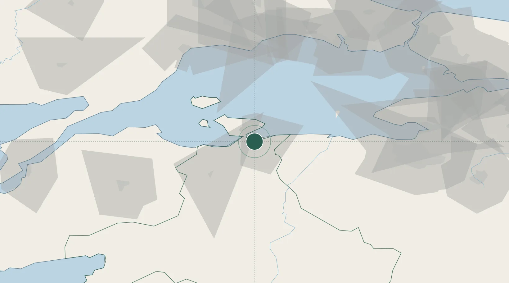
Bandirma
40.3515°, 27.9628°
107,631
Population
4
Transport functions
1
Container terminals
Transport Functions
Port
Rail
Road
Airport
Hub Profile
Place type
Provincial seat
Region
Balıkesir
Population
107,631
Time zone
Europe/Istanbul
Elevation
40 m
Logistics facilities
2
Container terminals
1
Location
Nearby Logistics Neighbours
Cities
- 1Erdek16 km
- 2Marmara Adasi43 km
- 3Saraylar43 km
- 4Karabiga56 km
- 5Icdas Jetty57 km
Airports
- 1Bandırma Airport4 km
- 2Balıkesir Airport82 km
- 3Tekirdağ Çorlu Airport88 km
- 4İstanbul Atatürk Airport100 km
- 5Balıkesir Koca Seyit Airport120 km
DatabookThe Record of Consolidated Knowledge
Türkiye beyond logistics?