UN/LOCODE hub · Türkiye
TRISK
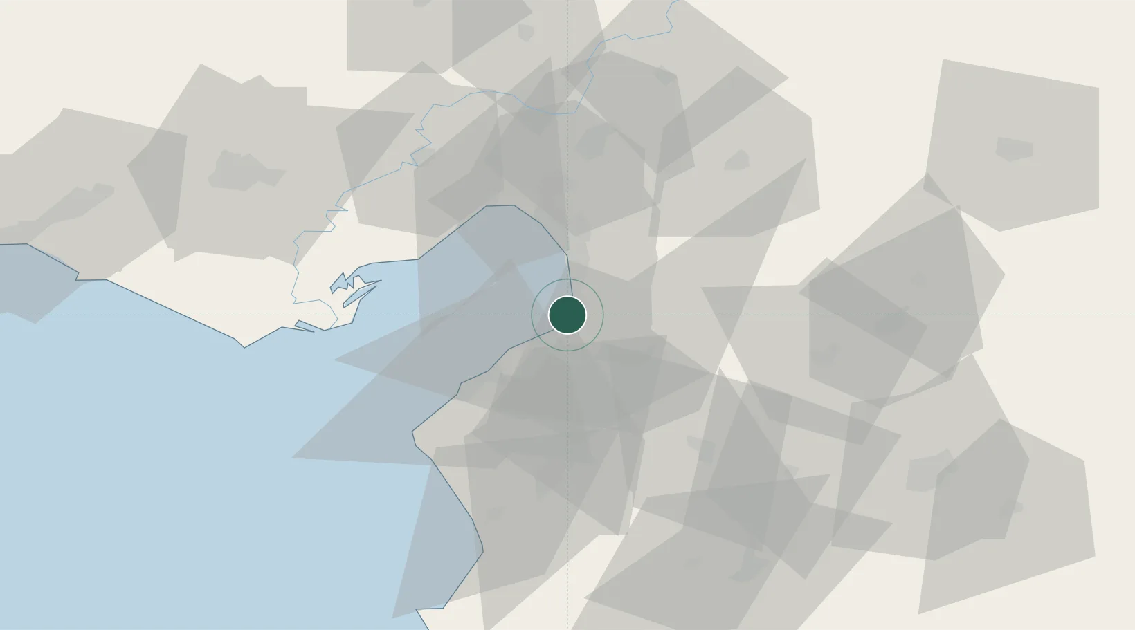
Iskenderun
36.6279°, 36.1999°
251,682
Population
3
Transport functions
2
Container terminals
Transport Functions
Port
Rail
Road
Hub Profile
Place type
Provincial seat
Region
Hatay
Population
251,682
Time zone
Europe/Istanbul
Elevation
9 m
Logistics facilities
11
Container terminals
2
Location
Nearby Logistics Neighbours
Cities
- 1Sariseki5 km
- 2Isdemir10 km
- 3Botas21 km
- 4Dörtyol27 km
- 5Toros Gubre Terminal, Gubre38 km
Ports
- 1Yakacik10 km
- 2Botas37 km
- 3Toros Gubre38 km
- 4Al Ladhiqiyah128 km
- 5Mersin141 km
Airports
- 1Hatay Airport30 km
- 2İncirlik Air Base81 km
- 3Adana Şakirpaşa Airport91 km
- 4Aleppo International Airport105 km
- 5Çukurova International Airport105 km
Trade Zones
DatabookThe Record of Consolidated Knowledge
Türkiye beyond logistics?