Medium airport · Türkiye
İncirlik Air BaseLTAG
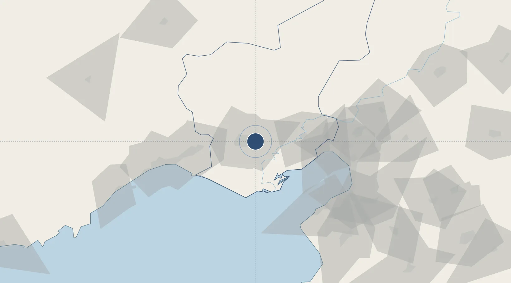
37.0021°, 35.4259°
10,000 ft
Longest runway
1
Runways
238 ft
Elevation
Runway & Layout

Radio Frequencies
ATIS
129.75 MHz
TWR
122.1 MHz
TuAF TWR
TWR
129.4 MHz
USAF TWR
TWR
257.8 MHz
TuAF TWR
TWR
264.775 MHz
USAF TWR
GND
121.95 MHz
GND
123.025 MHz
USAF GND
GND
251.25 MHz
GND
313.6 MHz
USAF GND
GND
376.7 MHz
TuAF GND
APP
126.5 MHz
TuAF APP
APP
128 MHz
USAF APP
APP
235.125 MHz
TuAF APP
APP
296.75 MHz
USAF APP
APP
362.3 MHz
PMSV
284.425 MHz
PMSV METRO
POST
131.9 MHz
COMD POST
POST
244.325 MHz
COMD POST
PTD
339.05 MHz
DISPATCH
SFA
378.225 MHz
SINGLE FREQ APP
TAFR
235.125 MHz
TuAF RAPCON
Navaids
DAN TACAN Incirlik 108.40 MHz
Runways · 1
| Runway | Dimensions | Surface | True heading | Lit |
|---|---|---|---|---|
| 05/23 | 10,000 × 148ft | Concrete | 053° | ✓ |
Airport Specifications
IATA code
UAB
ICAO code
LTAG
Airport class
Medium airport
Scheduled service
No
Runway surface
Concrete
Served city
Sarıçam
Location
Nearby Logistics Neighbours
Airports
- 1Adana Şakirpaşa Airport13 km
- 2Çukurova International Airport34 km
- 3Hatay Airport104 km
- 4Kahramanmaraş Airport148 km
- 5Gaziantep Oğuzeli International Airport183 km
Cities
- 1Adana16 km
- 2Yumurtalik41 km
- 3Karatas50 km
- 4Toros Gubre Terminal, Gubre50 km
- 5Mersin62 km
Ports
- 1Botas47 km
- 2Toros Gubre49 km
- 3Mersin74 km
- 4Yakacik75 km
- 5Iskenderun80 km
Trade Zones
DatabookThe Record of Consolidated Knowledge
Türkiye beyond logistics?