Large airport · Türkiye

Balıkesir Koca Seyit AirportLTFD
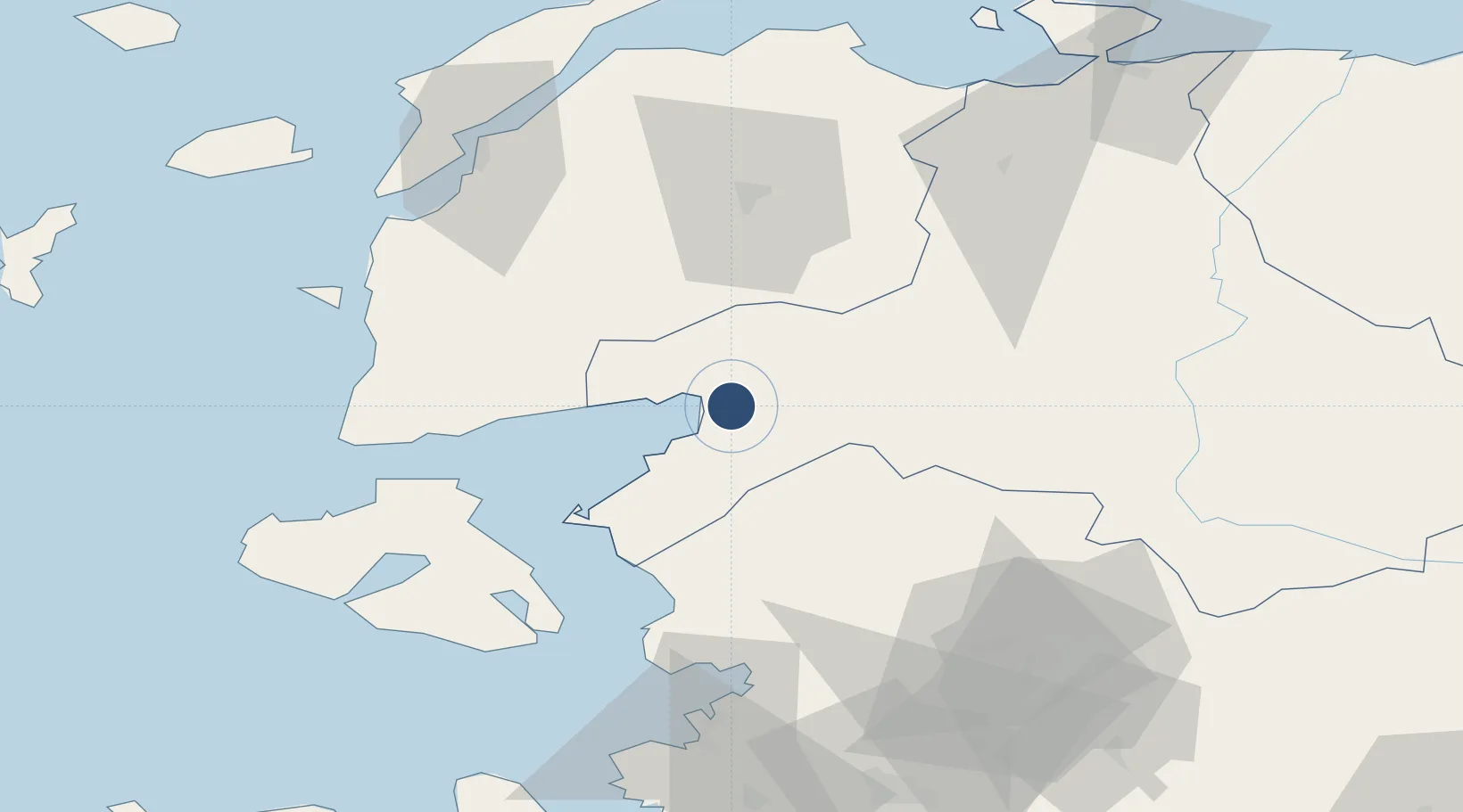
39.5525°, 27.0102°
9,842 ft
Longest runway
1
Runways
50 ft
Elevation

Runway & Layout

Balıkesir Koca Seyit Airport runway & taxiway layout
Runway & taxiway layout — OpenStreetMap (ODbL) / OurAirports

Radio Frequencies

TWR
119.7 MHz
GND
121.9 MHz
EMR
123.1 MHz
SAR
OurAirports

Navaids

EDR VOR-DME Edremit 109.40 MHz
EDR NDB Edremit 368 kHz
OurAirports

Runways · 1

RunwayDimensions SurfaceTrue headingLit
05/23 9,842 × 147ft CONCRETE 054°
OurAirports

Airport Specifications

IATA code
EDO
OurAirports
ICAO code
LTFD
OurAirports
Airport class
Large airport
OurAirports
Scheduled service
Yes
OurAirports
Runway surface
CONCRETE
OurAirports
Served city
Edremit
OurAirports

Location

Location of LTFD
Natural Earth 10m (public domain) · Balikesir · LTFD · 39.55, 27.01GoogleOSMYandex

Nearby Logistics Neighbours

Airports
  1. 1Mytilene International Airport66 km
  2. 2Balıkesir Airport79 km
  3. 3Çanakkale Airport82 km
  4. 4Akhisar Airport / Akhisar Air Base109 km
  5. 5Çiğli Airbase116 km
Nearest neighbours — logibook spatial index (haversine) over the source coordinates
Cities
  1. 1Edremit4 km
  2. 2Akçay7 km
  3. 3Ayvalik38 km
  4. 4Dikili55 km
  5. 5Mytilene64 km
Nearest neighbours — logibook spatial index (haversine) over the source coordinates
Ports
  1. 1Ayvalik37 km
  2. 2Dikili62 km
  3. 3Mitilini63 km
  4. 4Aliaga80 km
  5. 5Plomarion84 km
Nearest neighbours — logibook spatial index (haversine) over the source coordinates
Trade Zones
  1. 1Balikesir Organized Industrial Zone71 km
  2. 2Aliaga Kimya Ihtisas ve Karma Organized Industrial Zone82 km
  3. 3Izmir Free Zone104 km
  4. 4Manisa Organized Industrial Zone109 km
  5. 5Izmir Ataturk Organized Industrial Zone118 km
Nearest neighbours — logibook spatial index (haversine) over the source coordinates
DatabookThe Record of Consolidated Knowledge
Türkiye beyond logistics?
Browse databook

All Sources

AirportsOurAirports
Public domain
Portsthe NGA World Port Index
Public domain (US gov)
LocationsUN/LOCODE
UN/LOCODE — free
Trade Zonesthe World Bank SEZ database
CC BY 4.0
Trade ZonesOpen Zone Map
CC BY
InfrastructureOpenStreetMap
ODbL 1.0
← Türkiye airports