UN/LOCODE hub · Türkiye
TRKN2

Konak

38.4000°, 27.1000°
2
Transport functions

Transport Functions

Port
Road
UN/LOCODE

Hub Profile

Place type
Populated place
GeoNames
Region
İzmir Province
GeoNames
Time zone
Europe/Istanbul
GeoNames
Elevation
99 m
GeoNames

Location

Location of TRKN2
Natural Earth 10m (public domain) · İzmir Province · TRKN2 · 38.40, 27.10GoogleOSMYandex

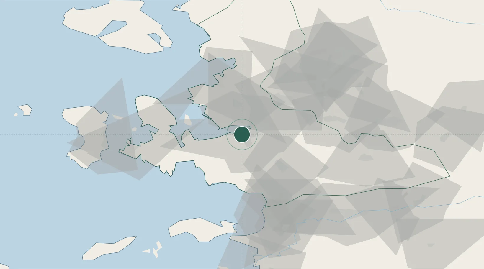
Nearby Logistics Neighbours

Cities
  1. 1Basmahane5 km
  2. 2Gaziemir9 km
  3. 3Izmir14 km
  4. 4Pinarbasi15 km
  5. 5Güzelbahçe20 km
Nearest neighbours — logibook spatial index (haversine) over the source coordinates
Ports
  1. 1Izmir5 km
  2. 2Nemrut Limani Bay44 km
  3. 3Aliaga50 km
  4. 4Kusadasi61 km
  5. 5Dikili73 km
Nearest neighbours — logibook spatial index (haversine) over the source coordinates
Airports
  1. 1Adnan Menderes International Airport13 km
  2. 2Çiğli Airbase15 km
  3. 3Akhisar Airport / Akhisar Air Base78 km
  4. 4Samos Airport81 km
  5. 5Chios Island National Airport84 km
Nearest neighbours — logibook spatial index (haversine) over the source coordinates
Trade Zones
  1. 1Aegean Free Zone7 km
  2. 2Izmir Ataturk Organized Industrial Zone12 km
  3. 3Izmir Free Zone28 km
  4. 4Manisa Organized Industrial Zone33 km
  5. 5Aliaga Kimya Ihtisas ve Karma Organized Industrial Zone47 km
Nearest neighbours — logibook spatial index (haversine) over the source coordinates
DatabookThe Record of Consolidated Knowledge
Türkiye beyond logistics?
Browse databook

All Sources

LocationsUN/LOCODE
UN/LOCODE — free
Portsthe NGA World Port Index
Public domain (US gov)
AirportsOurAirports
Public domain
Trade Zonesthe World Bank SEZ database
CC BY 4.0
Trade ZonesOpen Zone Map
CC BY
← Türkiye locations