Seaport · Türkiye

Nemrut Limani BayTRNEM
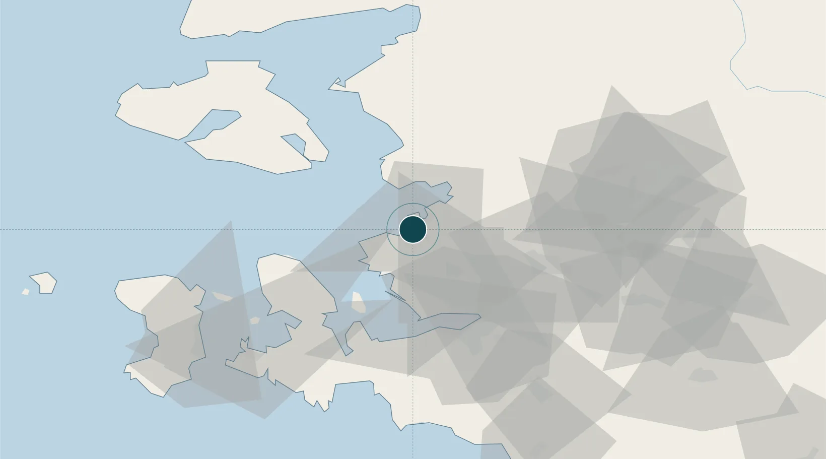
38.7667°, 26.9167°
15.5 m
Channel depth
40.4
Port liner connectivity

Channel & Berth Profile

SEA LEVEL (CD)CHANNEL BEDCargo pier · 6.4 mOil terminal · 6.4 mChannel · 15.5 mAnchorage · 15.5 m
NGA World Port Index

Pilotage, Tugs & Services

Pilotage compulsoryYES
Pilotage availableYES
Tug assistanceYES
Potable waterYES
Diesel bunkersYES
MedicalYES
Garbage disposalYES
NGA World Port Index

Facilities & Capabilities

Container
Ro-Ro
Liquid bulk
Dry bulk
Oil terminal
Break bulk
Dry dock
Repairs
BunkeringYES
Rail link
Dangerous cargo
ISPS security
NGA World Port Index

Harbour Specifications

Harbour size
Medium
NGA World Port Index
Harbour type
Coastal (Breakwater)
NGA World Port Index
Shelter
Poor
NGA World Port Index
Water body
Aegean Sea; Mediterranean Sea; North Atlantic Ocean
NGA World Port Index
Pilotage
Yes
NGA World Port Index

Liner Connectivity

40.4
PLSCI

Port Liner Shipping Connectivity Index for Nemrut Limani Bay, as published by UNCTAD for the latest available quarter. Higher values indicate stronger scheduled liner-shipping integration.

Shown relative to the highest per-port PLSCI in the dataset (1,657.9).

UNCTAD · Port Liner Shipping Connectivity Index

Location

Location of TRNEM
Natural Earth 10m (public domain) · Izmir · TRNEM · 38.77, 26.92GoogleOSMYandex

Nearby Logistics Neighbours

Ports
  1. 1Aliaga8 km
  2. 2Dikili29 km
  3. 3Izmir42 km
  4. 4Mitilini48 km
  5. 5Plomarion53 km
Nearest neighbours — logibook spatial index (haversine) over the source coordinates
Cities
  1. 1Aliaga2 km
  2. 2Foça18 km
  3. 3Dikili34 km
  4. 4Muradiye38 km
  5. 5Manisa40 km
Nearest neighbours — logibook spatial index (haversine) over the source coordinates
Airports
  1. 1Çiğli Airbase29 km
  2. 2Mytilene International Airport43 km
  3. 3Adnan Menderes International Airport57 km
  4. 4Akhisar Airport / Akhisar Air Base80 km
  5. 5Chios Island National Airport82 km
Nearest neighbours — logibook spatial index (haversine) over the source coordinates
Trade Zones
  1. 1Aliaga Kimya Ihtisas ve Karma Organized Industrial Zone13 km
  2. 2Izmir Free Zone17 km
  3. 3Izmir Ataturk Organized Industrial Zone32 km
  4. 4Manisa Organized Industrial Zone42 km
  5. 5Aegean Free Zone51 km
Nearest neighbours — logibook spatial index (haversine) over the source coordinates
DatabookThe Record of Consolidated Knowledge
Türkiye beyond logistics?
Browse databook

All Sources

Portsthe NGA World Port Index
Public domain (US gov)
Logistics performanceUNCTAD
CC BY 3.0 IGO
AirportsOurAirports
Public domain
LocationsUN/LOCODE
UN/LOCODE — free
Trade Zonesthe World Bank SEZ database
CC BY 4.0
Trade ZonesOpen Zone Map
CC BY
← Türkiye ports