Medium airport · Greece

Chios Island National AirportLGHI
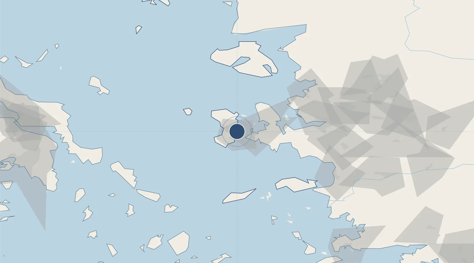
38.3432°, 26.1406°
4,957 ft
Longest runway
1
Runways
15 ft
Elevation

Runway & Layout

Chios Island National Airport runway & taxiway layout
Runway & taxiway layout — OpenStreetMap (ODbL) / OurAirports

Radio Frequencies

TWR
122.7 MHz
APP
124 MHz
A/G
563.7 MHz
RDO
OurAirports

Navaids

HIO NDB Chios 299 kHz
HOS VOR-DME Chios 110.80 MHz
MES VOR-DME Mesta 117.60 MHz
OurAirports

Runways · 1

RunwayDimensions SurfaceTrue headingLit
01/19 4,957 × 98ft Asphalt 010°
OurAirports

Airport Specifications

IATA code
JKH
OurAirports
ICAO code
LGHI
OurAirports
Airport class
Medium airport
OurAirports
Scheduled service
Yes
OurAirports
Runway surface
Asphalt
OurAirports
Served city
Chios Island
OurAirports

Location

Location of LGHI
Natural Earth 10m (public domain) · Voreio Aigaio · LGHI · 38.34, 26.14GoogleOSMYandex

Nearby Logistics Neighbours

Airports
  1. 1Ikaria Airport76 km
  2. 2Çiğli Airbase78 km
  3. 3Mytilene International Airport89 km
  4. 4Adnan Menderes International Airport89 km
  5. 5Samos Airport99 km
Nearest neighbours — logibook spatial index (haversine) over the source coordinates
Cities
  1. 1Chíos3 km
  2. 2Çesme14 km
  3. 3Mesta Hiou19 km
  4. 4Inousses20 km
  5. 5Kardámyla21 km
Nearest neighbours — logibook spatial index (haversine) over the source coordinates
Ports
  1. 1Khios3 km
  2. 2Plomarion74 km
  3. 3Neon Karlovas77 km
  4. 4Nemrut Limani Bay82 km
  5. 5Izmir87 km
Nearest neighbours — logibook spatial index (haversine) over the source coordinates
Trade Zones
  1. 1Izmir Free Zone75 km
  2. 2Izmir Ataturk Organized Industrial Zone80 km
  3. 3Aegean Free Zone86 km
  4. 4Aliaga Kimya Ihtisas ve Karma Organized Industrial Zone95 km
  5. 5Manisa Organized Industrial Zone111 km
Nearest neighbours — logibook spatial index (haversine) over the source coordinates
DatabookThe Record of Consolidated Knowledge
Greece beyond logistics?
Browse databook

All Sources

AirportsOurAirports
Public domain
Portsthe NGA World Port Index
Public domain (US gov)
LocationsUN/LOCODE
UN/LOCODE — free
Trade Zonesthe World Bank SEZ database
CC BY 4.0
Trade ZonesOpen Zone Map
CC BY
InfrastructureOpenStreetMap
ODbL 1.0
← Greece airports