UN/LOCODE hub · Türkiye
TRIZM
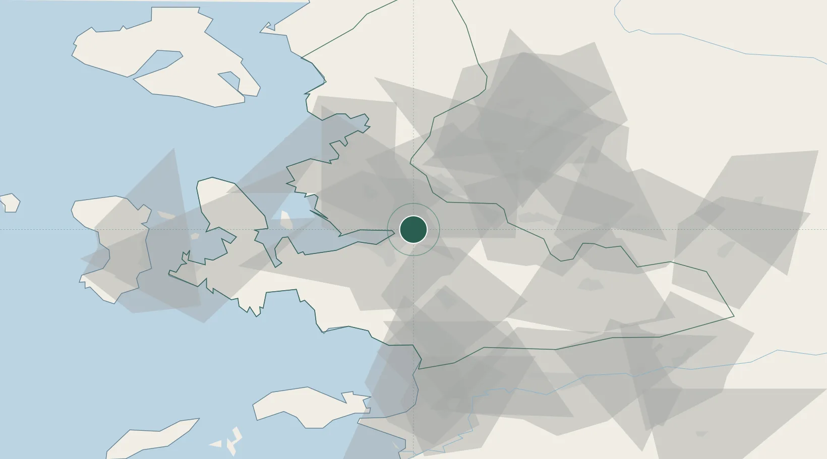
Izmir
38.4633°, 27.2418°
2,938,292
Population
5
Transport functions
1
Container terminals
Transport Functions
Port
Rail
Road
Airport
Postal
Hub Profile
Place type
Regional capital
Region
İzmir Province
Population
2,938,292
Time zone
Europe/Istanbul
Elevation
122 m
Logistics facilities
20
Container terminals
1
Location
Nearby Logistics Neighbours
DatabookThe Record of Consolidated Knowledge
Türkiye beyond logistics?