Medium airport · Türkiye
Çiğli AirbaseLTBL
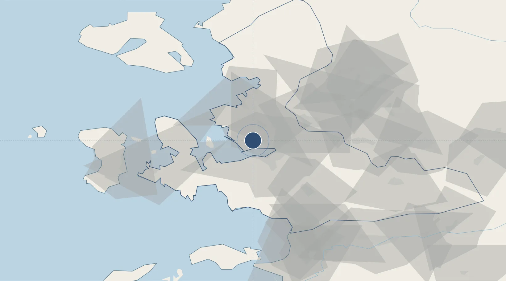
38.5130°, 27.0101°
9,821 ft
Longest runway
1
Runways
16 ft
Elevation
Runway & Layout

Radio Frequencies
ATIS
122.425 MHz
TWR
122.1 MHz
GND
121.95 MHz
APP
120.1 MHz
MENDERES APP
Navaids
CIG TACAN Cigli 113.60 MHz
Runways · 1
| Runway | Dimensions | Surface | True heading | Lit |
|---|---|---|---|---|
| 17/35 | 9,821 × 147ft | Asphalt | 176° | ✓ |
Airport Specifications
IATA code
IGL
ICAO code
LTBL
Airport class
Medium airport
Scheduled service
No
Runway surface
Asphalt
Served city
Çiğli
Location
Nearby Logistics Neighbours
Airports
Cities
- 1Konak15 km
- 2Basmahane16 km
- 3Izmir21 km
- 4Güzelbahçe21 km
- 5Gaziemir24 km
Ports
- 1Izmir14 km
- 2Nemrut Limani Bay29 km
- 3Aliaga36 km
- 4Dikili59 km
- 5Kusadasi75 km
Trade Zones
DatabookThe Record of Consolidated Knowledge
Türkiye beyond logistics?