Medium airport · Greece
Samos AirportLGSM
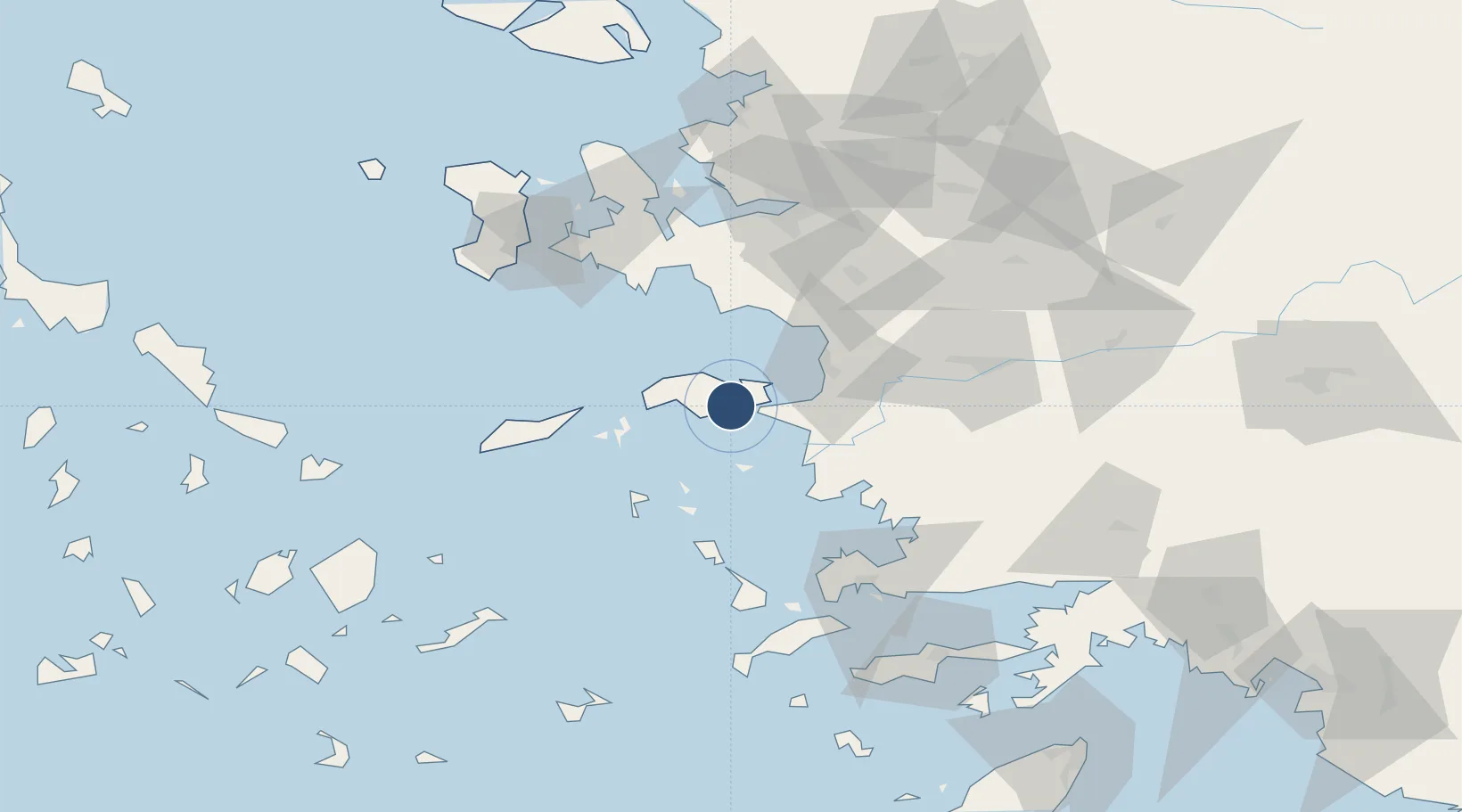
37.6900°, 26.9117°
6,706 ft
Longest runway
1
Runways
19 ft
Elevation
Runway & Layout

Radio Frequencies
TWR
122.1 MHz
APP
122.1 MHz
A/G
563.7 MHz
RDO
Navaids
SAM VOR-DME Samos 111.60 MHz
SMO NDB Samos 375 kHz
Runways · 1
| Runway | Dimensions | Surface | True heading | Lit |
|---|---|---|---|---|
| 09/27 | 6,706 × 148ft | Asphalt | 094° | ✓ |
Airport Specifications
IATA code
SMI
ICAO code
LGSM
Airport class
Medium airport
Scheduled service
Yes
Runway surface
Asphalt
Served city
Samos Island
Location
Nearby Logistics Neighbours
Airports
- 1Ikaria Airport50 km
- 2Leros Airport57 km
- 3Adnan Menderes International Airport70 km
- 4Kalymnos Airport81 km
- 5Milas Bodrum International Airport83 km
Cities
- 1Pythagóreion4 km
- 2Port Vathý (Vathý)9 km
- 3Marathokampos Samou19 km
- 4Néon Karlovásion24 km
- 5Agathonisi27 km
Ports
- 1Pithagorion4 km
- 2Samos8 km
- 3Neon Karlovas24 km
- 4Kusadasi36 km
- 5Lakki62 km
Trade Zones
DatabookThe Record of Consolidated Knowledge
Greece beyond logistics?