UN/LOCODE hub · Türkiye
TRGUZ

Güzelbahçe

38.3500°, 26.8833°
1
Transport functions

Transport Functions

Multimodal
UN/LOCODE

Hub Profile

Region
35
GeoNames

Location

Location of TRGUZ
Natural Earth 10m (public domain) · 35 · TRGUZ · 38.35, 26.88GoogleOSMYandex

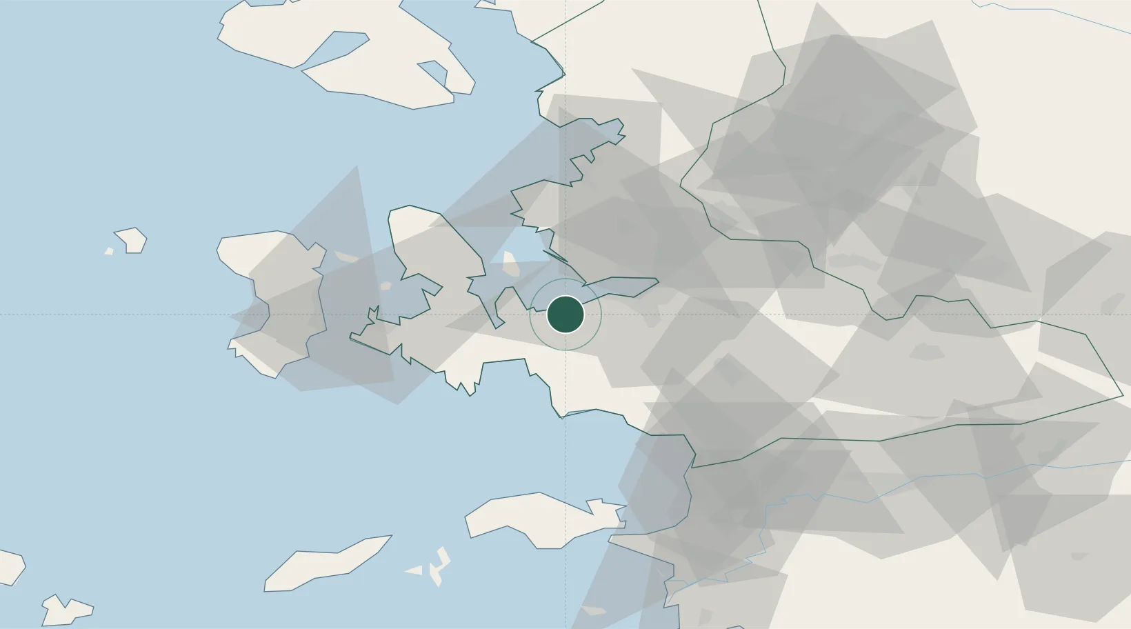
Nearby Logistics Neighbours

Cities
  1. 1Konak20 km
  2. 2Gaziemir21 km
  3. 3Basmahane24 km
  4. 4Izmir34 km
  5. 5Pinarbasi34 km
Nearest neighbours — logibook spatial index (haversine) over the source coordinates
Ports
  1. 1Izmir24 km
  2. 2Nemrut Limani Bay46 km
  3. 3Aliaga54 km
  4. 4Kusadasi63 km
  5. 5Neon Karlovas64 km
Nearest neighbours — logibook spatial index (haversine) over the source coordinates
Airports
  1. 1Çiğli Airbase21 km
  2. 2Adnan Menderes International Airport25 km
  3. 3Chios Island National Airport65 km
  4. 4Samos Airport73 km
  5. 5Mytilene International Airport82 km
Nearest neighbours — logibook spatial index (haversine) over the source coordinates
Trade Zones
  1. 1Izmir Ataturk Organized Industrial Zone21 km
  2. 2Aegean Free Zone21 km
  3. 3Izmir Free Zone30 km
  4. 4Manisa Organized Industrial Zone51 km
  5. 5Aliaga Kimya Ihtisas ve Karma Organized Industrial Zone54 km
Nearest neighbours — logibook spatial index (haversine) over the source coordinates
DatabookThe Record of Consolidated Knowledge
Türkiye beyond logistics?
Browse databook

All Sources

LocationsUN/LOCODE
UN/LOCODE — free
Portsthe NGA World Port Index
Public domain (US gov)
AirportsOurAirports
Public domain
Trade Zonesthe World Bank SEZ database
CC BY 4.0
Trade ZonesOpen Zone Map
CC BY
← Türkiye locations