UN/LOCODE hub · Türkiye
TRBAS

Basmahane

38.4167°, 27.1500°
2
Transport functions

Transport Functions

Rail
Road
UN/LOCODE

Hub Profile

Region
35
GeoNames

Location

Location of TRBAS
Natural Earth 10m (public domain) · 35 · TRBAS · 38.42, 27.15GoogleOSMYandex

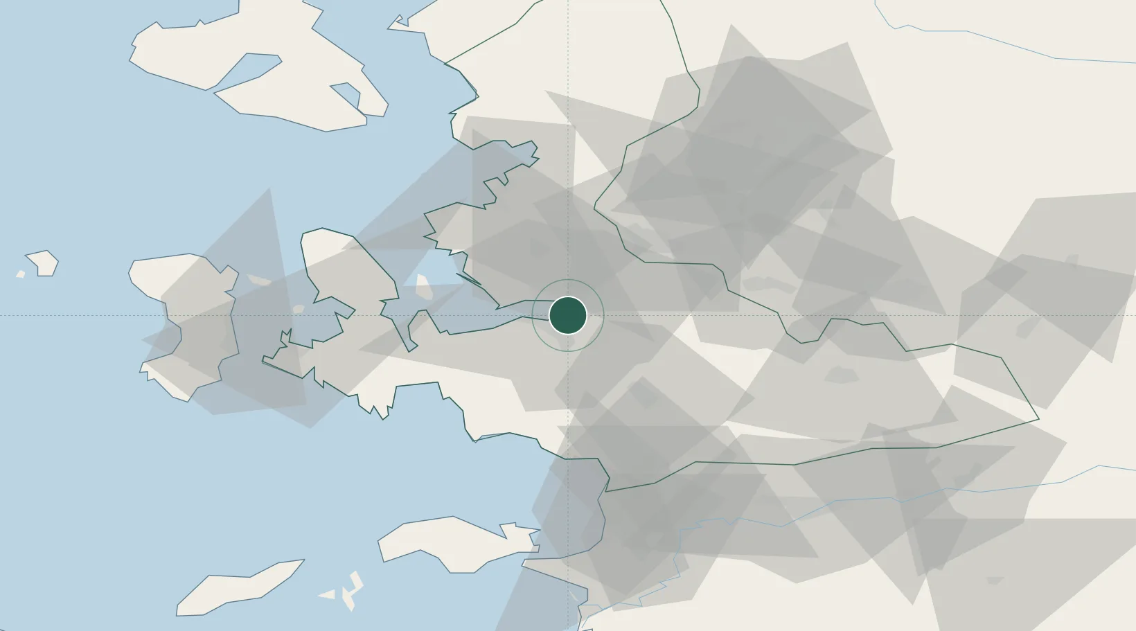
Nearby Logistics Neighbours

Cities
  1. 1Konak5 km
  2. 2Izmir10 km
  3. 3Pinarbasi10 km
  4. 4Gaziemir12 km
  5. 5Güzelbahçe24 km
Nearest neighbours — logibook spatial index (haversine) over the source coordinates
Ports
  1. 1Izmir2 km
  2. 2Nemrut Limani Bay44 km
  3. 3Aliaga50 km
  4. 4Kusadasi62 km
  5. 5Dikili73 km
Nearest neighbours — logibook spatial index (haversine) over the source coordinates
Airports
  1. 1Adnan Menderes International Airport14 km
  2. 2Çiğli Airbase16 km
  3. 3Akhisar Airport / Akhisar Air Base74 km
  4. 4Samos Airport84 km
  5. 5Mytilene International Airport86 km
Nearest neighbours — logibook spatial index (haversine) over the source coordinates
Trade Zones
  1. 1Aegean Free Zone9 km
  2. 2Izmir Ataturk Organized Industrial Zone13 km
  3. 3Manisa Organized Industrial Zone29 km
  4. 4Izmir Free Zone29 km
  5. 5Aliaga Kimya Ihtisas ve Karma Organized Industrial Zone46 km
Nearest neighbours — logibook spatial index (haversine) over the source coordinates
DatabookThe Record of Consolidated Knowledge
Türkiye beyond logistics?
Browse databook

All Sources

LocationsUN/LOCODE
UN/LOCODE — free
Portsthe NGA World Port Index
Public domain (US gov)
AirportsOurAirports
Public domain
Trade Zonesthe World Bank SEZ database
CC BY 4.0
Trade ZonesOpen Zone Map
CC BY
← Türkiye locations