UN/LOCODE hub · Türkiye
TRGZM

Gaziemir

38.3167°, 27.1167°
2
Transport functions

Transport Functions

Rail
Road
UN/LOCODE

Hub Profile

Place type
Provincial seat
GeoNames
Region
İzmir Province
GeoNames
Time zone
Europe/Istanbul
GeoNames
Elevation
144 m
GeoNames

Location

Location of TRGZM
Natural Earth 10m (public domain) · İzmir Province · TRGZM · 38.32, 27.12GoogleOSMYandex

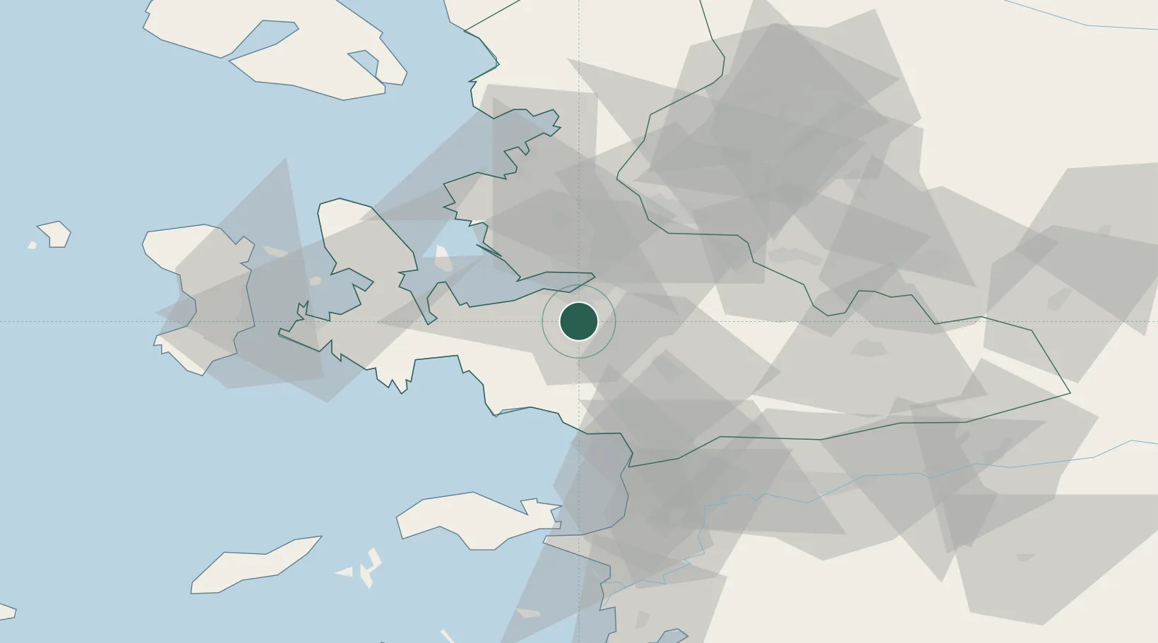
Nearby Logistics Neighbours

Cities
  1. 1Konak9 km
  2. 2Basmahane12 km
  3. 3Pinarbasi17 km
  4. 4Izmir20 km
  5. 5Güzelbahçe21 km
Nearest neighbours — logibook spatial index (haversine) over the source coordinates
Ports
  1. 1Izmir13 km
  2. 2Kusadasi51 km
  3. 3Nemrut Limani Bay53 km
  4. 4Aliaga60 km
  5. 5Samos64 km
Nearest neighbours — logibook spatial index (haversine) over the source coordinates
Airports
  1. 1Adnan Menderes International Airport4 km
  2. 2Çiğli Airbase24 km
  3. 3Samos Airport72 km
  4. 4Akhisar Airport / Akhisar Air Base83 km
  5. 5Chios Island National Airport85 km
Nearest neighbours — logibook spatial index (haversine) over the source coordinates
Trade Zones
  1. 1Aegean Free Zone3 km
  2. 2Izmir Ataturk Organized Industrial Zone21 km
  3. 3Izmir Free Zone37 km
  4. 4Manisa Organized Industrial Zone40 km
  5. 5Tire Organized Industrial Zone56 km
Nearest neighbours — logibook spatial index (haversine) over the source coordinates
DatabookThe Record of Consolidated Knowledge
Türkiye beyond logistics?
Browse databook

All Sources

LocationsUN/LOCODE
UN/LOCODE — free
Portsthe NGA World Port Index
Public domain (US gov)
AirportsOurAirports
Public domain
Trade Zonesthe World Bank SEZ database
CC BY 4.0
Trade ZonesOpen Zone Map
CC BY
← Türkiye locations