Large airport · Türkiye

Adnan Menderes International AirportLTBJ
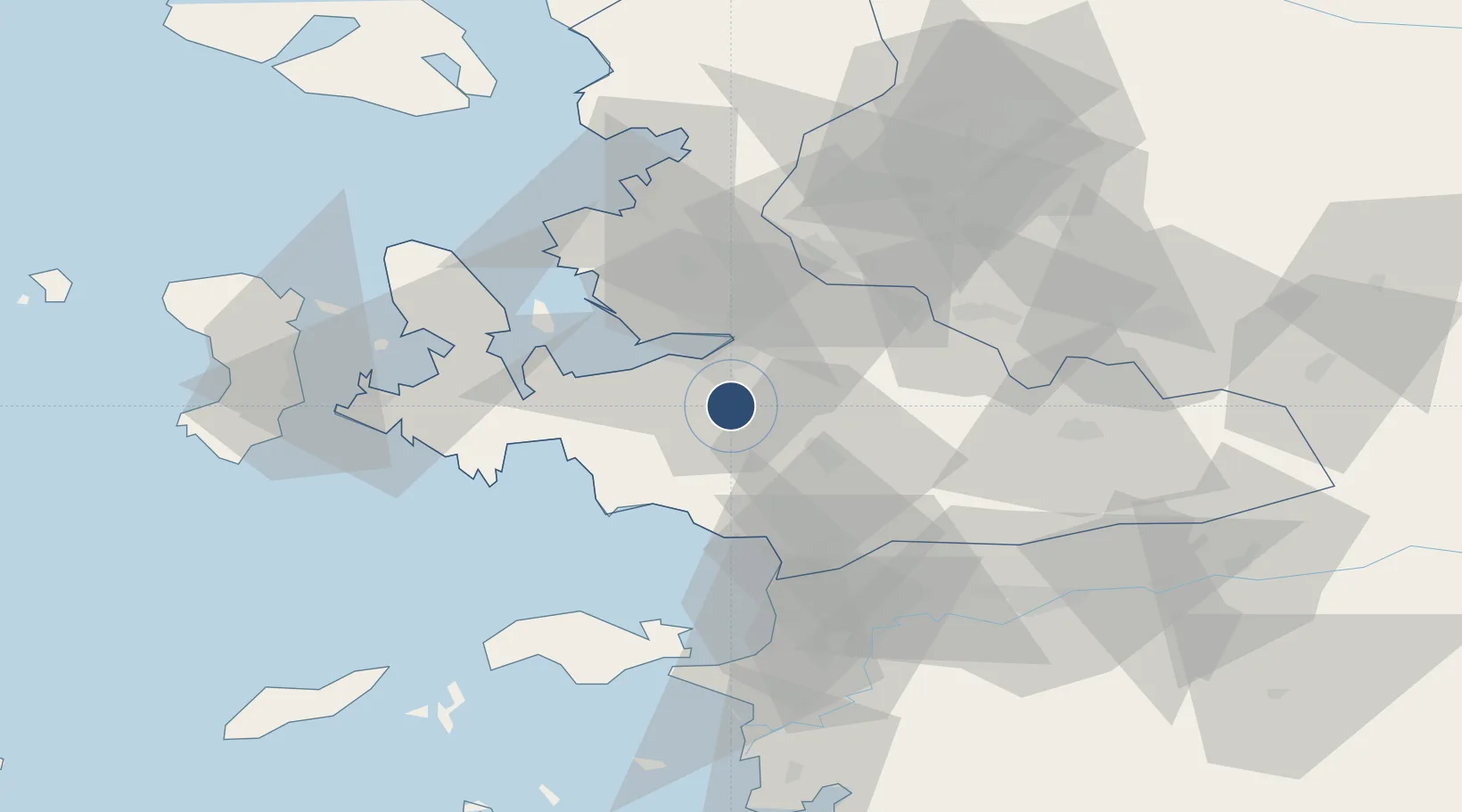
38.2924°, 27.1570°
10,630 ft
Longest runway
2
Runways
412 ft
Elevation

Runway & Layout

Adnan Menderes International Airport runway & taxiway layout
Runway & taxiway layout — OpenStreetMap (ODbL) / OurAirports

Radio Frequencies

ATIS
129.2 MHz
MENDERES ATIS
TWR
118.1 MHz
MENDERES TWR
GND
121.9 MHz
MENDERES GND
APP
119.5 MHz
MENDERES APP
APP
134.2 MHz
MENDERES APP
RMP
121.7 MHz
MENDERES RAMP
OurAirports

Navaids

EN NDB Menderes 315 kHz
ME NDB Menderes 405 kHz
MEN TACAN Menderes 115.10 MHz
MEN VOR-DME Menderes 117.90 MHz
OurAirports

Runways · 2

RunwayDimensions SurfaceTrue headingLit
16L/34R 10,630 × 147ft Asphalt 167°
16R/34L 10,630 × 147ft Concrete 167°
OurAirports

Airport Specifications

IATA code
ADB
OurAirports
ICAO code
LTBJ
OurAirports
Airport class
Large airport
OurAirports
Scheduled service
Yes
OurAirports
Runway surface
Asphalt
OurAirports
Served city
Gaziemir
OurAirports

Location

Location of LTBJ
Natural Earth 10m (public domain) · Izmir · LTBJ · 38.29, 27.16GoogleOSMYandex

Nearby Logistics Neighbours

Airports
  1. 1Çiğli Airbase28 km
  2. 2Samos Airport70 km
  3. 3Akhisar Airport / Akhisar Air Base82 km
  4. 4Chios Island National Airport89 km
  5. 5Mytilene International Airport98 km
Nearest neighbours — logibook spatial index (haversine) over the source coordinates
Cities
  1. 1Gaziemir4 km
  2. 2Konak13 km
  3. 3Basmahane14 km
  4. 4Pinarbasi17 km
  5. 5Izmir20 km
Nearest neighbours — logibook spatial index (haversine) over the source coordinates
Ports
  1. 1Izmir16 km
  2. 2Kusadasi48 km
  3. 3Nemrut Limani Bay57 km
  4. 4Samos63 km
  5. 5Aliaga63 km
Nearest neighbours — logibook spatial index (haversine) over the source coordinates
Trade Zones
  1. 1Aegean Free Zone6 km
  2. 2Izmir Ataturk Organized Industrial Zone25 km
  3. 3Manisa Organized Industrial Zone40 km
  4. 4Izmir Free Zone41 km
  5. 5Tire Organized Industrial Zone52 km
Nearest neighbours — logibook spatial index (haversine) over the source coordinates
DatabookThe Record of Consolidated Knowledge
Türkiye beyond logistics?
Browse databook

All Sources

AirportsOurAirports
Public domain
Portsthe NGA World Port Index
Public domain (US gov)
LocationsUN/LOCODE
UN/LOCODE — free
Trade Zonesthe World Bank SEZ database
CC BY 4.0
Trade ZonesOpen Zone Map
CC BY
InfrastructureOpenStreetMap
ODbL 1.0
← Türkiye airports