UN/LOCODE hub · Türkiye
TRMAD

Mardas

41.0167°, 28.9500°
3
Transport functions

Transport Functions

Port
Rail
Road
UN/LOCODE

Hub Profile

Region
34
GeoNames

Location

Location of TRMAD
Natural Earth 10m (public domain) · 34 · TRMAD · 41.02, 28.95GoogleOSMYandex

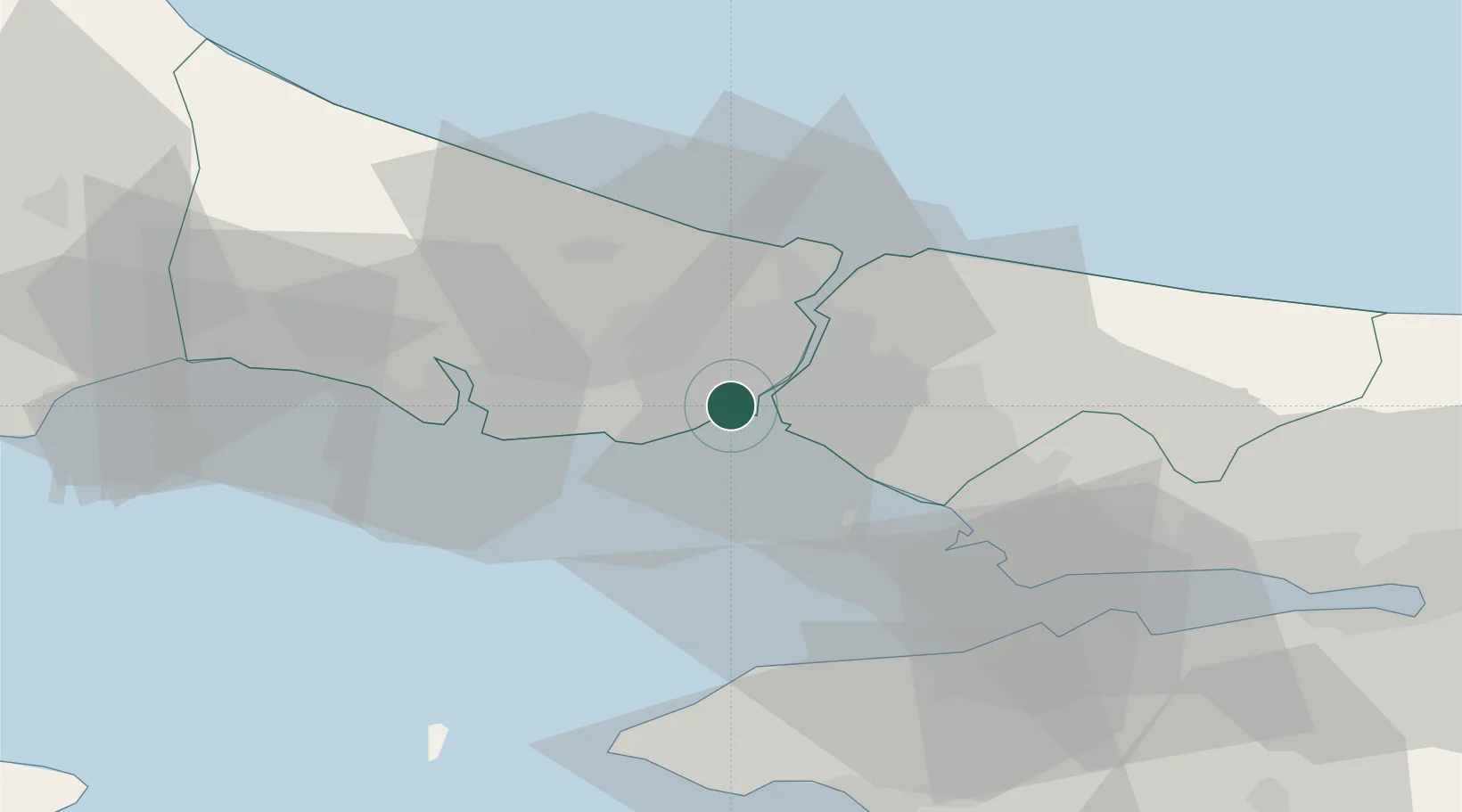
Nearby Logistics Neighbours

Cities
  1. 1Hasköy2 km
  2. 2Davutpasa2 km
  3. 3Karaköy/Istambul3 km
  4. 4Kabatas5 km
  5. 5Besiktas7 km
Nearest neighbours — logibook spatial index (haversine) over the source coordinates
Ports
  1. 1Istanbul1 km
  2. 2Haydarpasa6 km
  3. 3Istinye14 km
  4. 4Ambarli22 km
  5. 5Gebze58 km
Nearest neighbours — logibook spatial index (haversine) over the source coordinates
Airports
  1. 1İstanbul Atatürk Airport12 km
  2. 2İstanbul Samandıra Army Air Base23 km
  3. 3Istanbul Sabiha Gökçen International Airport33 km
  4. 4İstanbul Airport34 km
  5. 5Tekirdağ Çorlu Airport88 km
Nearest neighbours — logibook spatial index (haversine) over the source coordinates
Trade Zones
  1. 1Istanbul Atatürk Airport Free Zone12 km
  2. 2Istanbul Stock Exchange Free Zone13 km
  3. 3Istanbul Leather Industry Free Zone39 km
  4. 4Istanbul Tracia Free Zone42 km
  5. 5Gebze Organized Industrial Zone44 km
Nearest neighbours — logibook spatial index (haversine) over the source coordinates
DatabookThe Record of Consolidated Knowledge
Türkiye beyond logistics?
Browse databook

All Sources

LocationsUN/LOCODE
UN/LOCODE — free
Portsthe NGA World Port Index
Public domain (US gov)
AirportsOurAirports
Public domain
Trade Zonesthe World Bank SEZ database
CC BY 4.0
Trade ZonesOpen Zone Map
CC BY
← Türkiye locations