Transport Functions
Port
Hub Profile
Place type
District seat
Region
Kırklareli
Time zone
Europe/Istanbul
Elevation
25 m
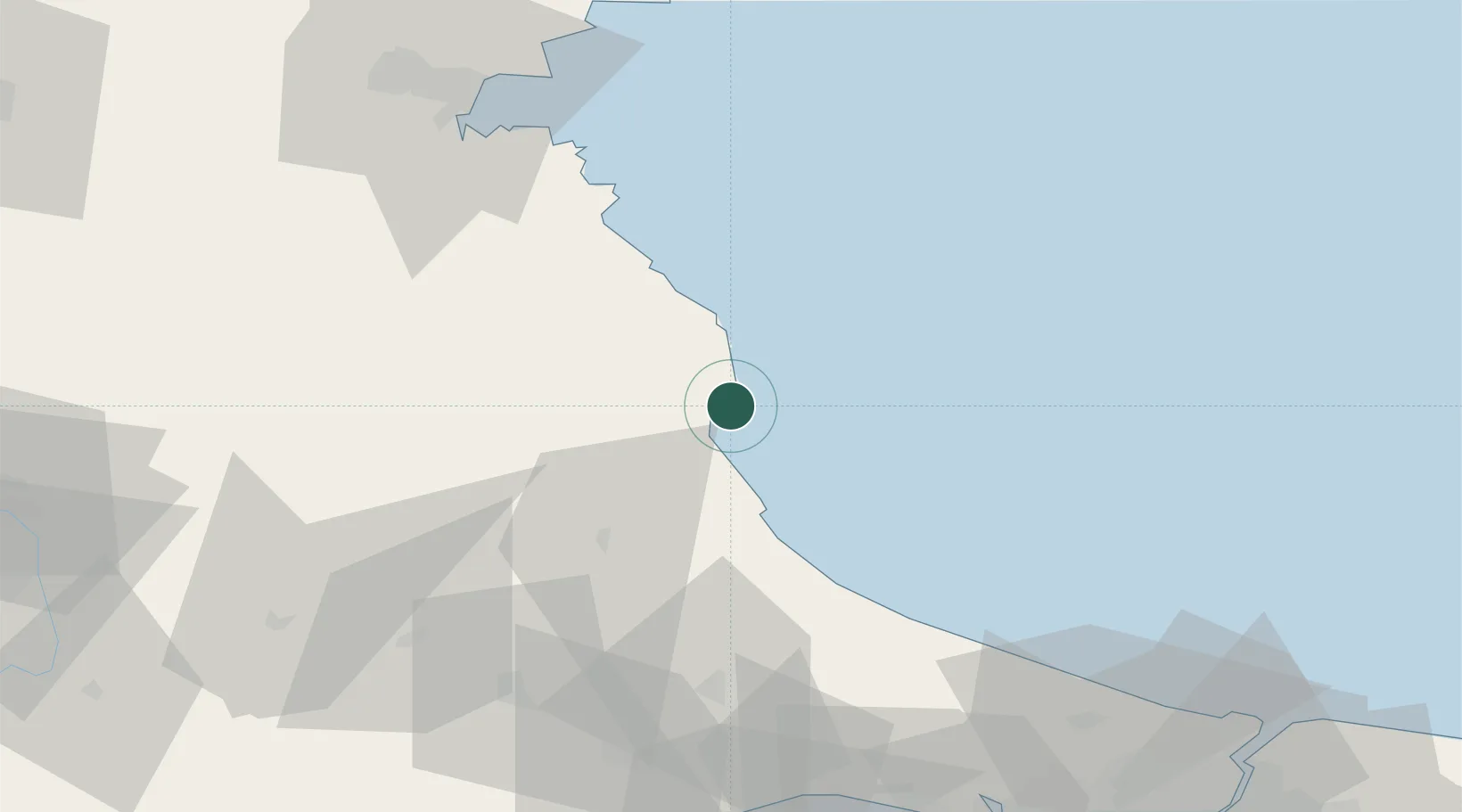
Location
Nearby Logistics Neighbours
Airports
- 1Tekirdağ Çorlu Airport83 km
- 2Burgas Airport87 km
- 3İstanbul Airport90 km
- 4İstanbul Atatürk Airport122 km
- 5İstanbul Samandıra Army Air Base141 km
Trade Zones
DatabookThe Record of Consolidated Knowledge
Türkiye beyond logistics?