Transport Functions
Port
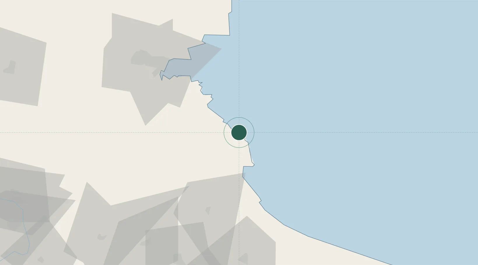
Location
Nearby Logistics Neighbours
Airports
- 1Burgas Airport63 km
- 2Tekirdağ Çorlu Airport107 km
- 3İstanbul Airport112 km
- 4Varna Airport126 km
- 5Bezmer Air Base137 km
Trade Zones
DatabookThe Record of Consolidated Knowledge
Bulgaria beyond logistics?