Transport Functions
Port
Road
Hub Profile
Place type
Provincial seat
Region
Burgas
Population
4,500
Time zone
Europe/Sofia
Elevation
20 m
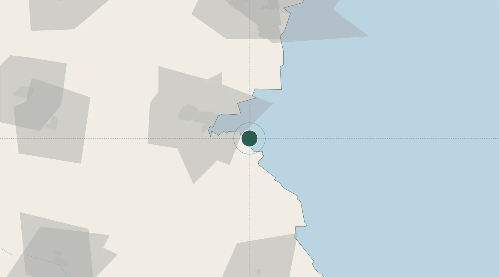
Location
Nearby Logistics Neighbours
Airports
- 1Burgas Airport23 km
- 2Varna Airport91 km
- 3Bezmer Air Base111 km
- 4Balchik Airfield119 km
- 5Tekirdağ Çorlu Airport143 km
Trade Zones
DatabookThe Record of Consolidated Knowledge
Bulgaria beyond logistics?