UN/LOCODE hub · Bulgaria
BGBOJ
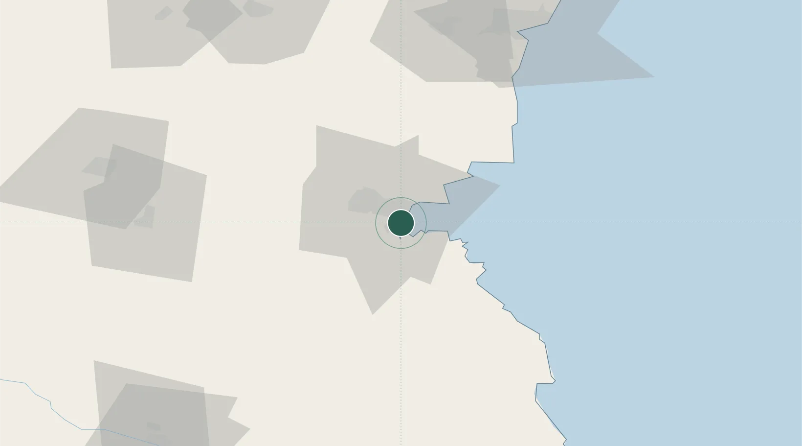
Burgas
42.4864°, 27.4689°
210,646
Population
1
Transport functions
1
Container terminals
Transport Functions
Port
Hub Profile
Place type
Regional capital
Region
Burgas
Population
210,646
Time zone
Europe/Sofia
Elevation
36 m
Logistics facilities
4
Container terminals
1
Location
Nearby Logistics Neighbours
Airports
- 1Burgas Airport10 km
- 2Varna Airport88 km
- 3Bezmer Air Base92 km
- 4Balchik Airfield119 km
- 5Tekirdağ Çorlu Airport155 km
Trade Zones
DatabookThe Record of Consolidated Knowledge
Bulgaria beyond logistics?