Channel & Berth Profile
Pilotage, Tugs & Services
Pilotage compulsoryNO
Pilotage availableYES
Local assistanceYES
Tug assistanceNO
Salvage tugsNO
Potable waterYES
MedicalYES
Facilities & Capabilities
Container—
Ro-Ro—
Liquid bulk—
Dry bulk—
Oil terminal—
Break bulk—
Dry dock—
RepairsNO
Bunkering—
Rail link—
Dangerous cargo—
ISPS security—
Harbour Specifications
Harbour size
Small
Harbour type
Coastal (Breakwater)
Shelter
Fair
Water body
Aegean Sea; Mediterranean Sea; North Atlantic Ocean
Pilotage
No
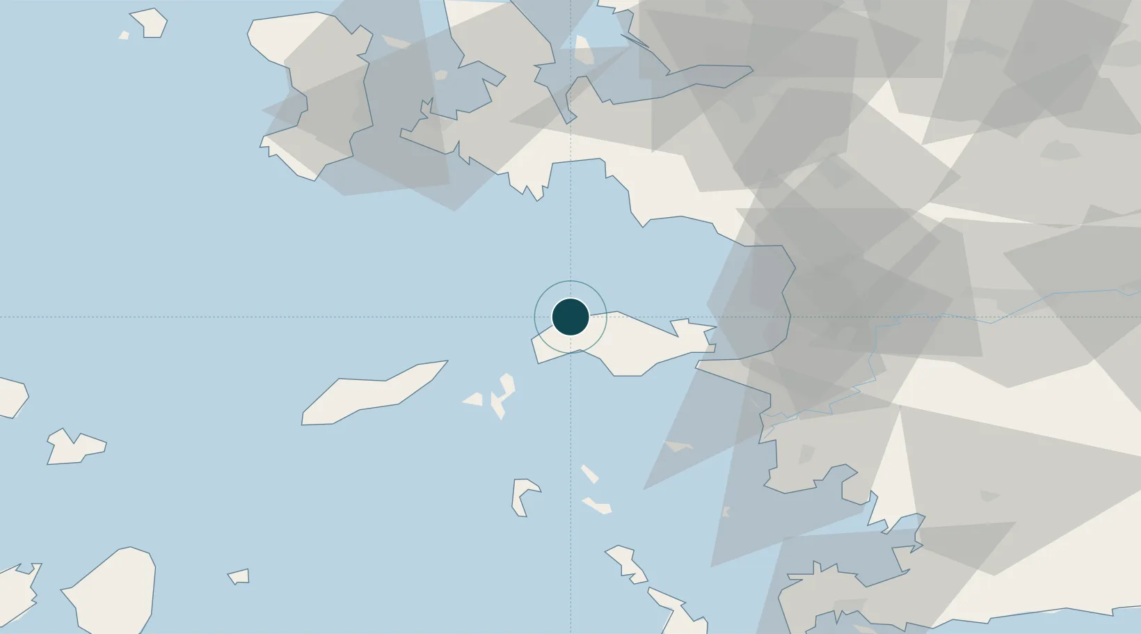
Location
Nearby Logistics Neighbours
Ports
- 1Samos26 km
- 2Pithagorion27 km
- 3Kusadasi50 km
- 4Lakki76 km
- 5Khios79 km
Cities
- 1Marathokampos Samou11 km
- 2Pythagóreion26 km
- 3Port Vathý (Vathý)27 km
- 4Thymaina Island32 km
- 5Foúrnoi37 km
Airports
- 1Samos Airport24 km
- 2Ikaria Airport32 km
- 3Adnan Menderes International Airport69 km
- 4Leros Airport69 km
- 5Chios Island National Airport77 km
Trade Zones
DatabookThe Record of Consolidated Knowledge
Greece beyond logistics?