Transport Functions
Rail
Road
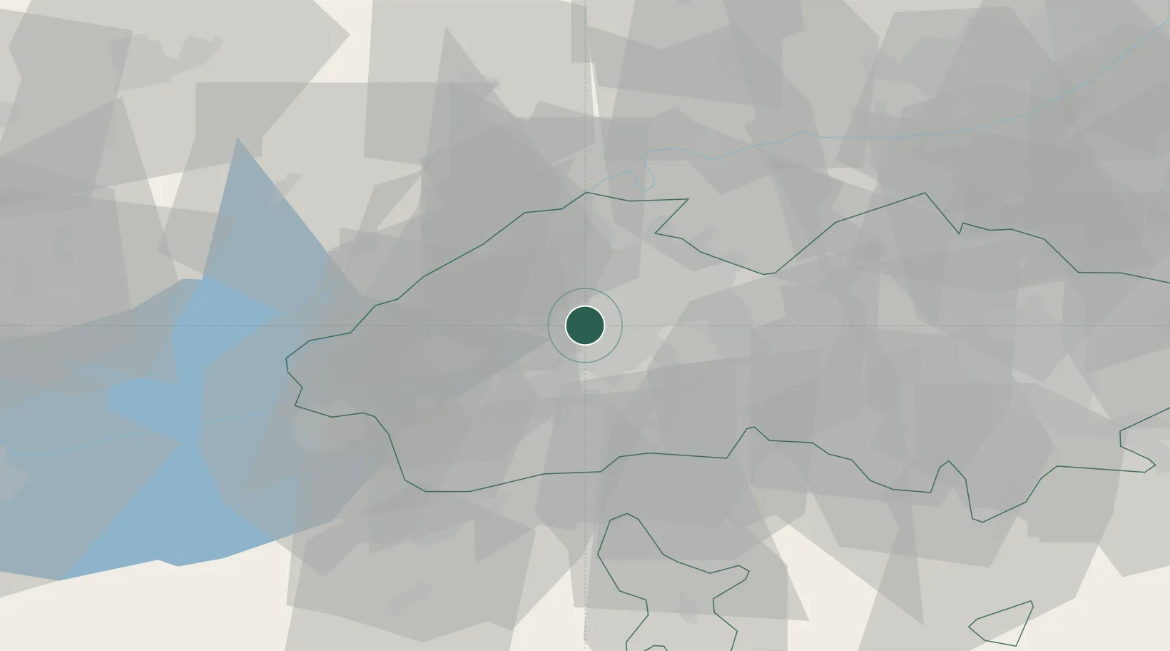
Hub Profile
Place type
Populated place
Region
Surxondaryo Region
Time zone
Asia/Samarkand
Elevation
489 m
Logistics facilities
1
Location
Nearby Logistics Neighbours
Ports
- 1Muhamamad Bin Qasim1783 km
- 2Karachi1788 km
- 3Gwadar1889 km
- 4Chah Bahar1947 km
- 5Jazireh-Ye Hormoz1998 km
Airports
- 1Batken Airport54 km
- 2Fergana International Airport71 km
- 3Namangan International Airport74 km
- 4Kyzyl-Kiya Airport99 km
- 5Khujand International Airport110 km
Trade Zones
DatabookThe Record of Consolidated Knowledge
Uzbekistan beyond logistics?