Medium airport · Kyrgyzstan
Batken AirportUA30
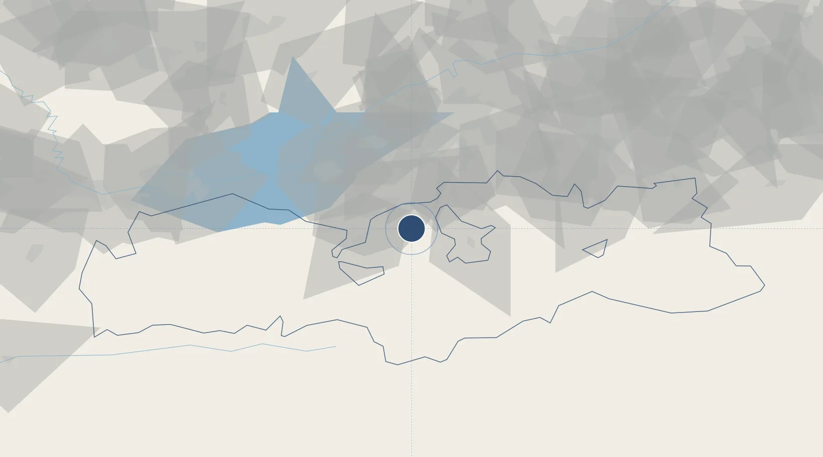
40.0429°, 70.8378°
5,905 ft
Longest runway
1
Runways
3,602 ft
Elevation
Runway & Layout

Runways · 1
| Runway | Dimensions | Surface | True heading | Lit |
|---|---|---|---|---|
| 14/32 | 5,905 × 115ft | Asphalt | 144° | — |
Airport Specifications
ICAO code
UCFB
Airport class
Medium airport
Scheduled service
Yes
Runway surface
Asphalt
Served city
Batken
Location
Nearby Logistics Neighbours
Airports
- 1Fergana International Airport85 km
- 2Khujand International Airport99 km
- 3Kyzyl-Kiya Airport106 km
- 4Razzakov Airport111 km
- 5Namangan International Airport121 km
Ports
- 1Muhamamad Bin Qasim1730 km
- 2Karachi1734 km
- 3Gwadar1839 km
- 4Chah Bahar1898 km
- 5Jazireh-Ye Hormoz1956 km
Trade Zones
DatabookThe Record of Consolidated Knowledge
Kyrgyzstan beyond logistics?