Transport Functions
Rail
Road
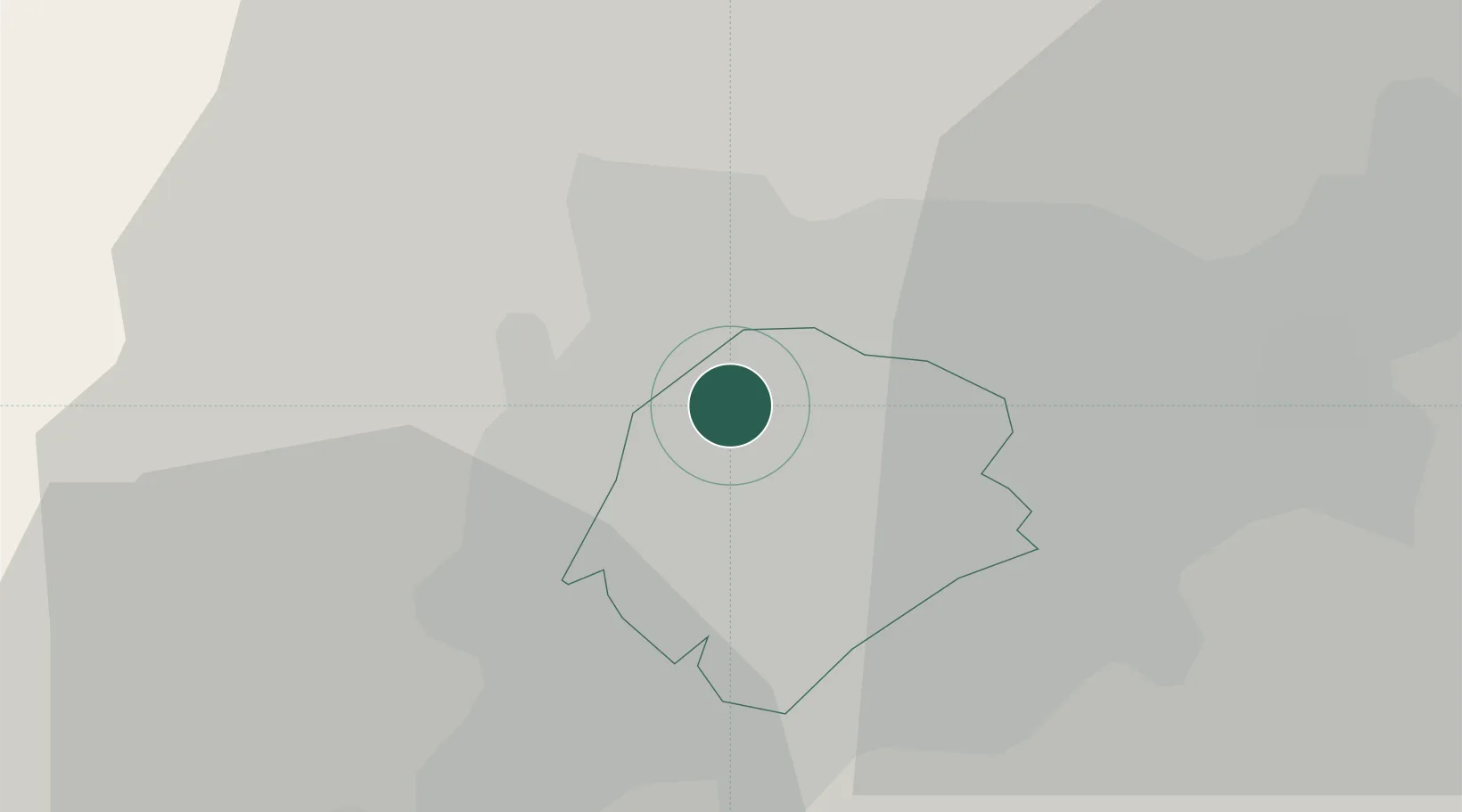
Hub Profile
Region
TO
Logistics facilities
1
Location
Nearby Logistics Neighbours
Ports
- 1Muhamamad Bin Qasim1854 km
- 2Karachi1856 km
- 3Gwadar1915 km
- 4Chah Bahar1958 km
- 5Jazireh-Ye Hormoz1969 km
Airports
- 1Tashkent International Airport13 km
- 2Tashkent East Airport16 km
- 3Shymkent International Airport113 km
- 4Khujand International Airport134 km
- 5Zomin Airport165 km
Trade Zones
DatabookThe Record of Consolidated Knowledge
Uzbekistan beyond logistics?