Large airport · Tajikistan

Khujand International AirportUTDL
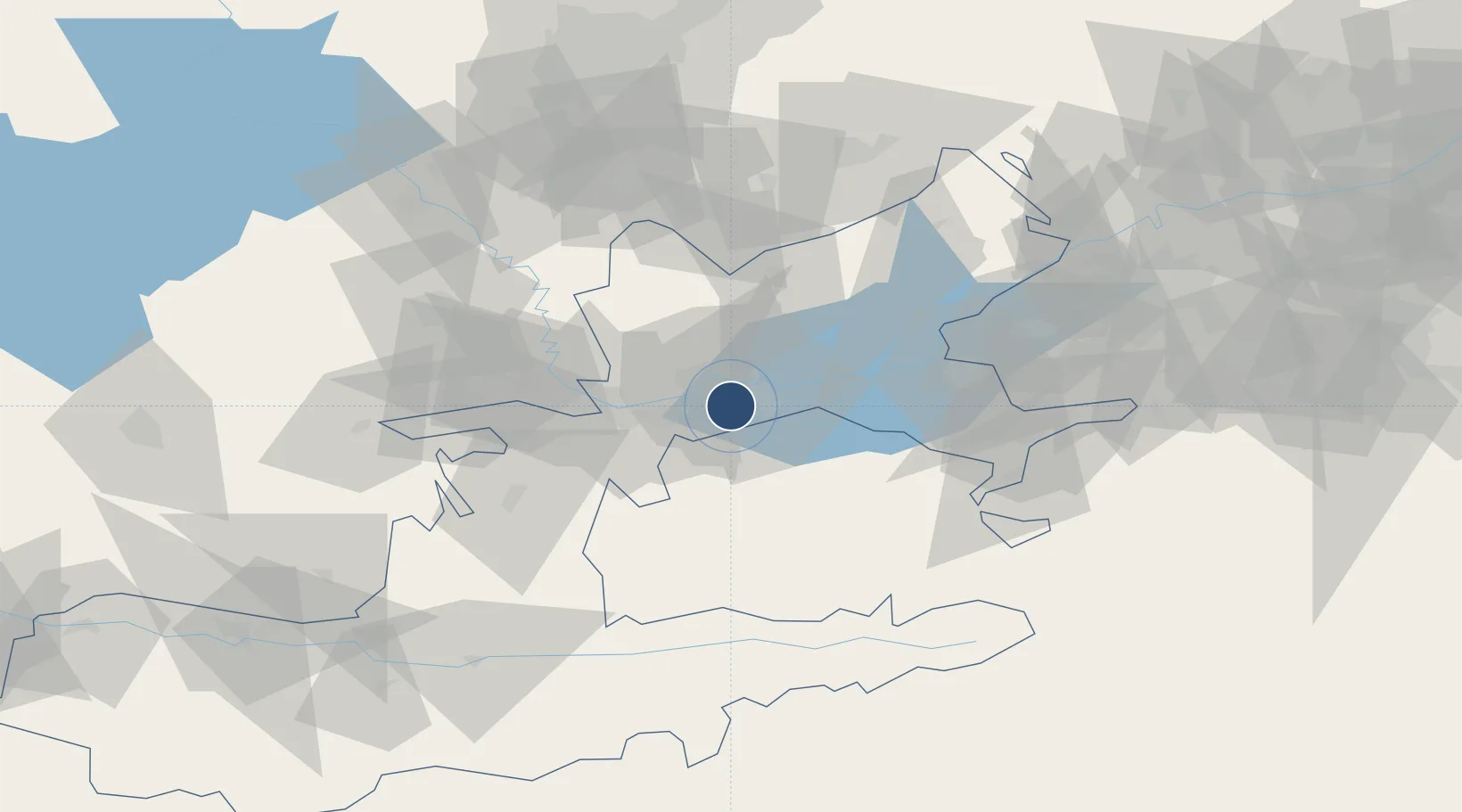
40.2154°, 69.6947°
10,433 ft
Longest runway
1
Runways
1,450 ft
Elevation

Runway & Layout

Khujand International Airport runway & taxiway layout
Runway & taxiway layout — OpenStreetMap (ODbL) / OurAirports

Radio Frequencies

TWR
120.3 MHz
APP
124.8 MHz
GCA
120.3 MHz
KRUG
PMSV
127.2 MHz
METEO
OurAirports

Navaids

HD NDB Khudzhand 655 kHz
HV NDB Khudzhand 655 kHz
OurAirports

Runways · 1

RunwayDimensions SurfaceTrue headingLit
08/26 10,433 × 164ft Asphalt 082°
OurAirports

Airport Specifications

IATA code
LBD
OurAirports
ICAO code
UTDL
OurAirports
Airport class
Large airport
OurAirports
Scheduled service
Yes
OurAirports
Runway surface
Asphalt
OurAirports
Served city
Khujand
OurAirports

Location

Location of UTDL
Natural Earth 10m (public domain) · Leninabad · UTDL · 40.22, 69.69GoogleOSMYandex

Nearby Logistics Neighbours

Airports
  1. 1Razzakov Airport45 km
  2. 2Batken Airport99 km
  3. 3Zomin Airport111 km
  4. 4Tashkent International Airport121 km
  5. 5Tashkent East Airport125 km
Nearest neighbours — logibook spatial index (haversine) over the source coordinates
Cities
  1. 1Khujand9 km
  2. 2Ohangaron76 km
  3. 3Guliston84 km
  4. 4Kokand110 km
  5. 5Tashkent118 km
Nearest neighbours — logibook spatial index (haversine) over the source coordinates
Ports
  1. 1Muhamamad Bin Qasim1732 km
  2. 2Karachi1735 km
  3. 3Gwadar1813 km
  4. 4Chah Bahar1864 km
  5. 5Jazireh-Ye Hormoz1901 km
Nearest neighbours — logibook spatial index (haversine) over the source coordinates
Trade Zones
  1. 1Sugdh Free Economic Zone14 km
  2. 2Sirdaryo Free Economic Zone84 km
  3. 3Angren Special Industrial Zone93 km
  4. 4Zomin-pharm Free Economic Zone102 km
  5. 5Qoqon Kokand Free Economic Zone110 km
Nearest neighbours — logibook spatial index (haversine) over the source coordinates
DatabookThe Record of Consolidated Knowledge
Tajikistan beyond logistics?
Browse databook

All Sources

AirportsOurAirports
Public domain
Portsthe NGA World Port Index
Public domain (US gov)
LocationsUN/LOCODE
UN/LOCODE — free
Trade Zonesthe World Bank SEZ database
CC BY 4.0
Trade ZonesOpen Zone Map
CC BY
InfrastructureOpenStreetMap
ODbL 1.0
← Tajikistan airports