Diversified Zone · Uzbekistan

Sirdaryo Free Economic Zone Active
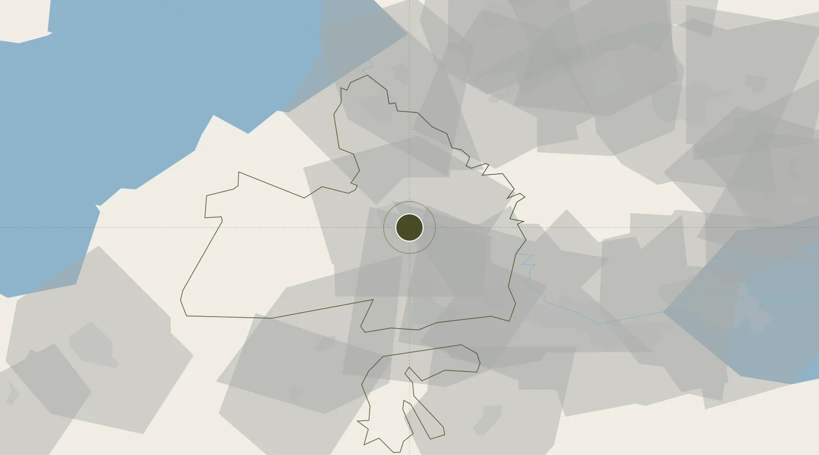
40.4970°, 68.7759°
816 ha
Zone area
1,754.2 km
Nearest port
62.0 km
Nearest airport

Gateway access

Nearest neighbours — logibook spatial index (haversine) over the source coordinates

Zone profile

Zone type
Diversified Zone
Open Zone Map
Region
Sirdaryo
Open Zone Map
Status
Active
Open Zone Map
Management
Public
Open Zone Map
Operator
"Directorate of FEZ" Sirdaryo"
Open Zone Map
Legal framework
Presidential Decree of 12.04.2018 "On the Creation of a Free Economic Zone" Sirdaryo "
Open Zone Map

Location

Location of ozm-5007
Natural Earth 10m (public domain) · Sirdaryo · ozm-5007 · 40.50, 68.78GoogleOSMYandex

Nearby Logistics Neighbours

Ports
  1. 1Muhamamad Bin Qasim1754 km
  2. 2Karachi1755 km
  3. 3Gwadar1811 km
  4. 4Chah Bahar1855 km
  5. 5Jazireh-Ye Hormoz1871 km
Nearest neighbours — logibook spatial index (haversine) over the source coordinates
Airports
  1. 1Zomin Airport62 km
  2. 2Khujand International Airport84 km
  3. 3Tashkent International Airport95 km
  4. 4Razzakov Airport101 km
  5. 5Tashkent East Airport105 km
Nearest neighbours — logibook spatial index (haversine) over the source coordinates
Cities
  1. 1Guliston1 km
  2. 2Khujand76 km
  3. 3Ohangaron85 km
  4. 4Jizzakh91 km
  5. 5Tashkent96 km
Nearest neighbours — logibook spatial index (haversine) over the source coordinates
Trade Zones
  1. 1Sirdaryo-pharm Free Economic Zone40 km
  2. 2Balik Ishlab Chikaruvchi Special Economic Zone61 km
  3. 3Sugdh Free Economic Zone70 km
  4. 4Jizzakh Special Industrial Zone84 km
  5. 5Zomin-pharm Free Economic Zone92 km
Nearest neighbours — logibook spatial index (haversine) over the source coordinates
DatabookThe Record of Consolidated Knowledge
Uzbekistan beyond logistics?
Browse databook

All Sources

Trade ZonesOpen Zone Map
CC BY
Portsthe NGA World Port Index
Public domain (US gov)
AirportsOurAirports
Public domain
LocationsUN/LOCODE
UN/LOCODE — free
← Uzbekistan trade zones