Small airport · Kyrgyzstan

Razzakov AirportUAFI
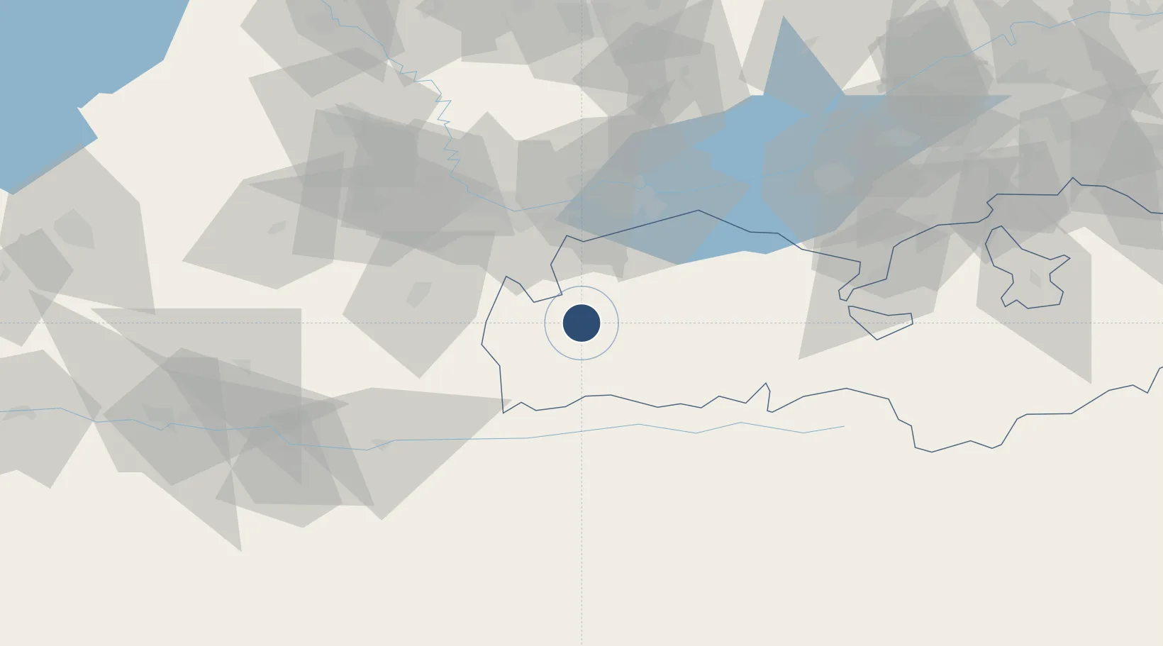
39.8247°, 69.5688°
5,577 ft
Longest runway
1
Runways
4,840 ft
Elevation

Runway & Layout

Razzakov Airport runway & taxiway layout
Runway & taxiway layout — OpenStreetMap (ODbL) / OurAirports

Runways · 1

RunwayDimensions SurfaceTrue headingLit
10/28 5,577 × 115ft ASB
OurAirports

Airport Specifications

ICAO code
UCFR
OurAirports
Airport class
Small airport
OurAirports
Scheduled service
Yes
OurAirports
Runway surface
ASB
OurAirports
Served city
Isfana
OurAirports

Location

Location of UAFI
Natural Earth 10m (public domain) · Batken · UAFI · 39.82, 69.57GoogleOSMYandex

Nearby Logistics Neighbours

Airports
  1. 1Khujand International Airport45 km
  2. 2Zomin Airport101 km
  3. 3Batken Airport111 km
  4. 4Dushanbe International Airport156 km
  5. 5Tashkent International Airport161 km
Nearest neighbours — logibook spatial index (haversine) over the source coordinates
Cities
  1. 1Khujand49 km
  2. 2Guliston101 km
  3. 3Ohangaron120 km
  4. 4Kokand139 km
  5. 5Jizzakh150 km
Nearest neighbours — logibook spatial index (haversine) over the source coordinates
Ports
  1. 1Muhamamad Bin Qasim1687 km
  2. 2Karachi1690 km
  3. 3Gwadar1769 km
  4. 4Chah Bahar1821 km
  5. 5Jazireh-Ye Hormoz1862 km
Nearest neighbours — logibook spatial index (haversine) over the source coordinates
Trade Zones
  1. 1Sugdh Free Economic Zone50 km
  2. 2Sirdaryo Free Economic Zone101 km
  3. 3Balik Ishlab Chikaruvchi Special Economic Zone111 km
  4. 4Angren Special Industrial Zone138 km
  5. 5Sirdaryo-pharm Free Economic Zone138 km
Nearest neighbours — logibook spatial index (haversine) over the source coordinates
DatabookThe Record of Consolidated Knowledge
Kyrgyzstan beyond logistics?
Browse databook

All Sources

AirportsOurAirports
Public domain
Portsthe NGA World Port Index
Public domain (US gov)
LocationsUN/LOCODE
UN/LOCODE — free
Trade Zonesthe World Bank SEZ database
CC BY 4.0
Trade ZonesOpen Zone Map
CC BY
InfrastructureOpenStreetMap
ODbL 1.0
← Kyrgyzstan airports