Diversified Zone · Uzbekistan

Angren Special Industrial Zone Active
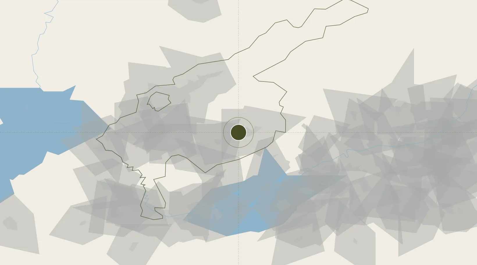
41.0159°, 70.0088°
14,500 ha
Zone area
1,823.6 km
Nearest port
61.0 km
Nearest airport

Gateway access

Nearest neighbours — logibook spatial index (haversine) over the source coordinates

Zone profile

Zone type
Diversified Zone
Open Zone Map
Region
Tashkent
Open Zone Map
Status
Active
Open Zone Map
Management
Public
Open Zone Map
Operator
Directorate of the FEZ “Angren"
Open Zone Map
Legal framework
Decree of the President of the Republic of Uzbekistan 13.04.2012 N UP-4436
Open Zone Map

Location

Location of ozm-5008
Natural Earth 10m (public domain) · Tashkent · ozm-5008 · 41.02, 70.01GoogleOSMYandex

Nearby Logistics Neighbours

Ports
  1. 1Muhamamad Bin Qasim1824 km
  2. 2Karachi1827 km
  3. 3Gwadar1905 km
  4. 4Chah Bahar1955 km
  5. 5Jazireh-Ye Hormoz1983 km
Nearest neighbours — logibook spatial index (haversine) over the source coordinates
Airports
  1. 1Tashkent East Airport61 km
  2. 2Tashkent International Airport67 km
  3. 3Khujand International Airport93 km
  4. 4Batken Airport129 km
  5. 5Namangan International Airport130 km
Nearest neighbours — logibook spatial index (haversine) over the source coordinates
Cities
  1. 1Ohangaron34 km
  2. 2Tashkent60 km
  3. 3Chukur-Say77 km
  4. 4Saryagach85 km
  5. 5Khujand90 km
Nearest neighbours — logibook spatial index (haversine) over the source coordinates
Trade Zones
  1. 1Parkent-pharm Free Economic Zone41 km
  2. 2Zomin-pharm Free Economic Zone45 km
  3. 3Bustonliq-pharm Free Economic Zone64 km
  4. 4Charvak Chorvoq Free Economic Zone69 km
  5. 5Sugdh Free Economic Zone91 km
Nearest neighbours — logibook spatial index (haversine) over the source coordinates
DatabookThe Record of Consolidated Knowledge
Uzbekistan beyond logistics?
Browse databook

All Sources

Trade ZonesOpen Zone Map
CC BY
Portsthe NGA World Port Index
Public domain (US gov)
AirportsOurAirports
Public domain
LocationsUN/LOCODE
UN/LOCODE — free
← Uzbekistan trade zones