Transport Functions
Rail
Road
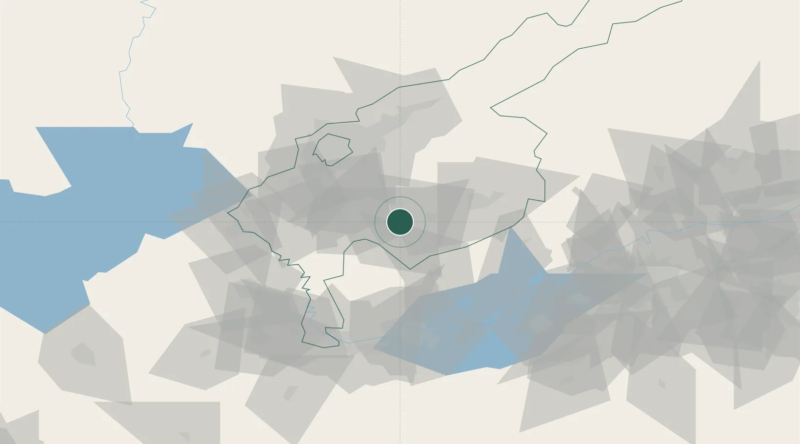
Hub Profile
Place type
Populated place
Region
Tashkent Region
Population
37,784
Time zone
Asia/Tashkent
Elevation
567 m
Location
Nearby Logistics Neighbours
Cities
- 1Tashkent45 km
- 2Chukur-Say63 km
- 3Khujand70 km
- 4Saryagach73 km
- 5Guliston84 km
Ports
- 1Muhamamad Bin Qasim1806 km
- 2Karachi1809 km
- 3Gwadar1880 km
- 4Chah Bahar1928 km
- 5Jazireh-Ye Hormoz1953 km
Airports
- 1Tashkent International Airport50 km
- 2Tashkent East Airport50 km
- 3Khujand International Airport76 km
- 4Razzakov Airport120 km
- 5Batken Airport140 km
Trade Zones
DatabookThe Record of Consolidated Knowledge
Uzbekistan beyond logistics?