UN/LOCODE hub · Uzbekistan
UZTAS
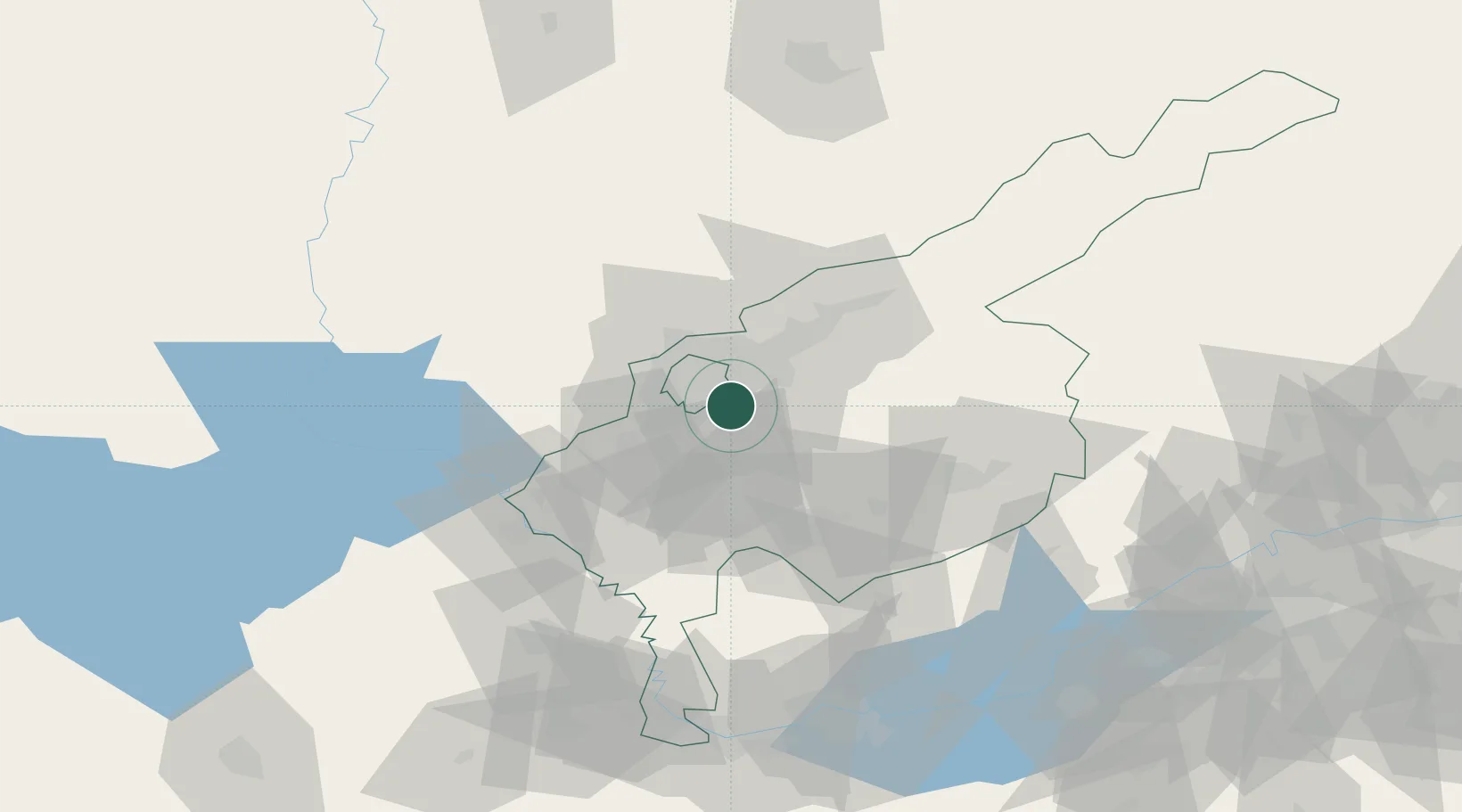
Tashkent
41.2427°, 69.3550°
1,978,028
Population
3
Transport functions
Transport Functions
Rail
Airport
Postal
Hub Profile
Place type
National capital
Region
Tashkent
Population
1,978,028
Time zone
Asia/Tashkent
Elevation
424 m
Logistics facilities
11
Location
Nearby Logistics Neighbours
Cities
- 1Chukur-Say18 km
- 2Saryagach28 km
- 3Ohangaron45 km
- 4Guliston96 km
- 5Khujand111 km
Ports
- 1Muhamamad Bin Qasim1841 km
- 2Karachi1843 km
- 3Gwadar1906 km
- 4Chah Bahar1951 km
- 5Jazireh-Ye Hormoz1966 km
Airports
- 1Tashkent International Airport6 km
- 2Tashkent East Airport9 km
- 3Khujand International Airport118 km
- 4Shymkent International Airport125 km
- 5Zomin Airport158 km
Trade Zones
DatabookThe Record of Consolidated Knowledge
Uzbekistan beyond logistics?