Transport Functions
Rail
Road
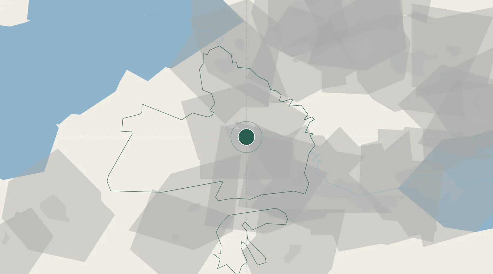
Hub Profile
Place type
Regional capital
Region
Sirdaryo Region
Population
90,398
Time zone
Asia/Tashkent
Elevation
272 m
Location
Nearby Logistics Neighbours
Cities
- 1Khujand75 km
- 2Ohangaron84 km
- 3Jizzakh91 km
- 4Tashkent96 km
- 5Chukur-Say103 km
Ports
- 1Muhamamad Bin Qasim1755 km
- 2Karachi1756 km
- 3Gwadar1812 km
- 4Chah Bahar1856 km
- 5Jazireh-Ye Hormoz1872 km
Airports
- 1Zomin Airport63 km
- 2Khujand International Airport84 km
- 3Tashkent International Airport94 km
- 4Razzakov Airport101 km
- 5Tashkent East Airport104 km
DatabookThe Record of Consolidated Knowledge
Uzbekistan beyond logistics?