Diversified Zone · Tajikistan

Sugdh Free Economic Zone Active
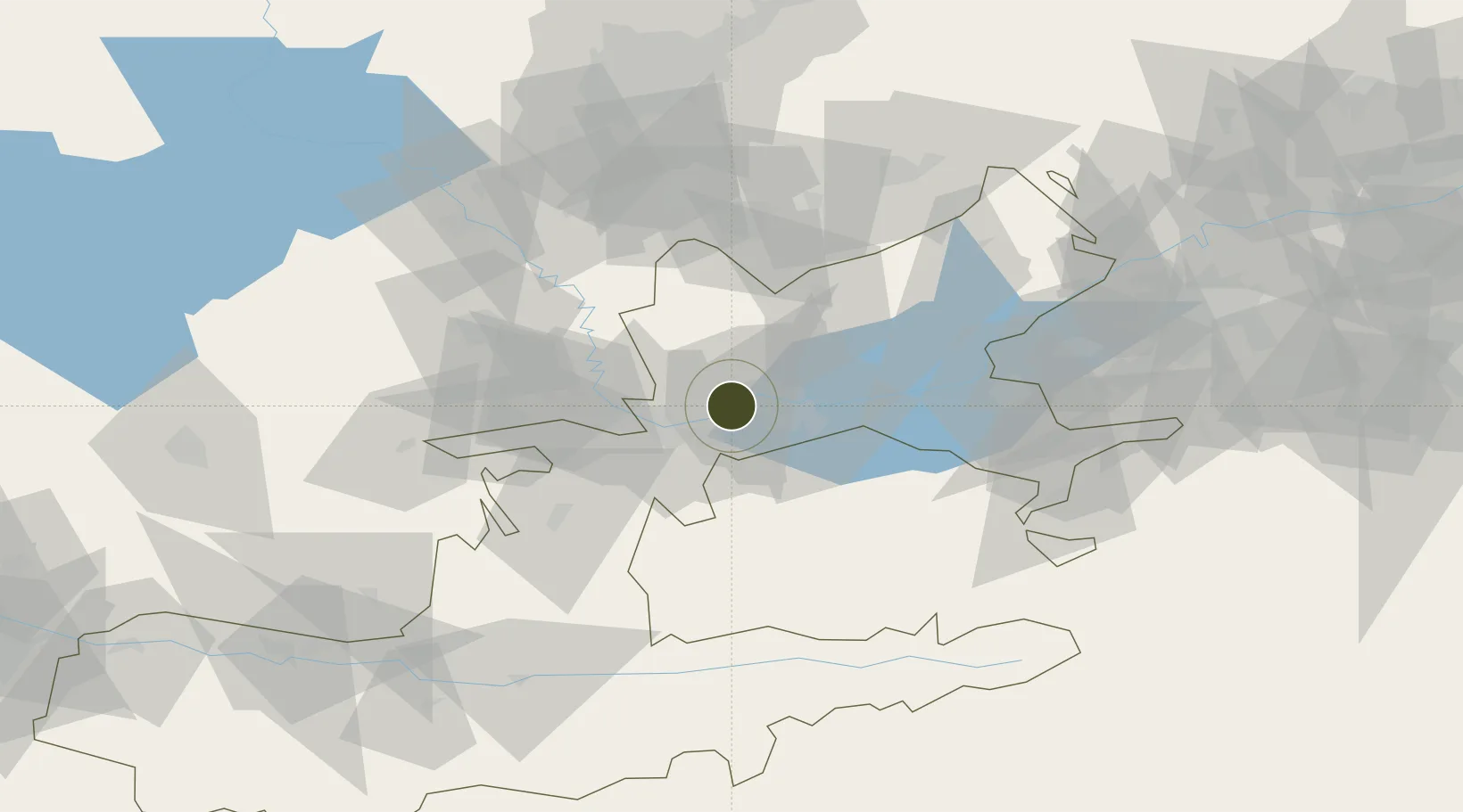
40.2751°, 69.5533°
320 ha
Zone area
1,736.6 km
Nearest port
13.7 km
Nearest airport

Gateway access

Nearest neighbours — logibook spatial index (haversine) over the source coordinates

Zone profile

Zone type
Diversified Zone
Open Zone Map
Region
Leninabad
Open Zone Map
Status
Active
Open Zone Map
Management
Public
Open Zone Map
Operator
Administration of FEZ "Sugd"
Open Zone Map
Legal framework
Resolution About the Regulation of the Free Economic Zone "Sughd"
Open Zone Map

Location

Location of ozm-4400
Natural Earth 10m (public domain) · Leninabad · ozm-4400 · 40.28, 69.55GoogleOSMYandex

Nearby Logistics Neighbours

Ports
  1. 1Muhamamad Bin Qasim1737 km
  2. 2Karachi1739 km
  3. 3Gwadar1814 km
  4. 4Chah Bahar1864 km
  5. 5Jazireh-Ye Hormoz1897 km
Nearest neighbours — logibook spatial index (haversine) over the source coordinates
Airports
  1. 1Khujand International Airport14 km
  2. 2Razzakov Airport50 km
  3. 3Zomin Airport101 km
  4. 4Tashkent International Airport112 km
  5. 5Batken Airport112 km
Nearest neighbours — logibook spatial index (haversine) over the source coordinates
Cities
  1. 1Khujand6 km
  2. 2Ohangaron70 km
  3. 3Guliston70 km
  4. 4Tashkent109 km
  5. 5Kokand120 km
Nearest neighbours — logibook spatial index (haversine) over the source coordinates
Trade Zones
  1. 1Sirdaryo Free Economic Zone70 km
  2. 2Angren Special Industrial Zone91 km
  3. 3Zomin-pharm Free Economic Zone94 km
  4. 4Sirdaryo-pharm Free Economic Zone100 km
  5. 5Balik Ishlab Chikaruvchi Special Economic Zone107 km
Nearest neighbours — logibook spatial index (haversine) over the source coordinates
DatabookThe Record of Consolidated Knowledge
Tajikistan beyond logistics?
Browse databook

All Sources

Trade ZonesOpen Zone Map
CC BY
Portsthe NGA World Port Index
Public domain (US gov)
AirportsOurAirports
Public domain
LocationsUN/LOCODE
UN/LOCODE — free
← Tajikistan trade zones