Transport Functions
Rail
Road
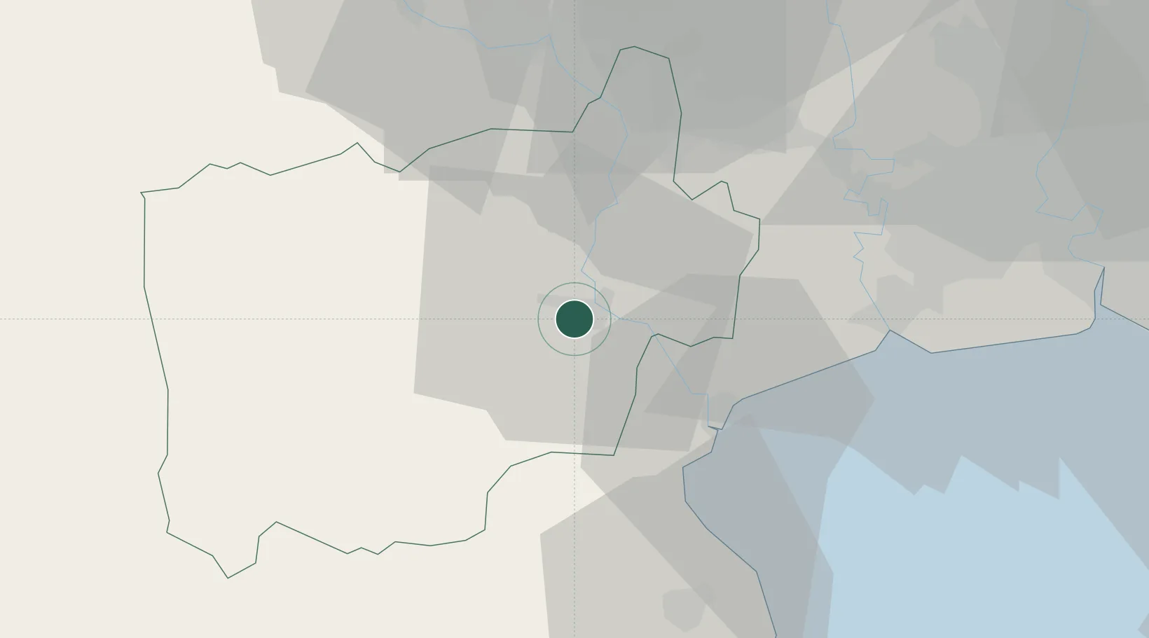
Hub Profile
Place type
Regional capital
Region
Ratchaburi
Population
92,448
Time zone
Asia/Bangkok
Elevation
8 m
Location
Nearby Logistics Neighbours
Cities
- 1Photharam18 km
- 2Mae Klong27 km
- 3Ban Pong31 km
- 4Phet Buri51 km
- 5Samut Sakhon, Changwat54 km
Ports
- 1Bangkok79 km
- 2Ko Si Chang Terminal117 km
- 3Siam Seaport125 km
- 4Laem Chabang128 km
- 5Si Racha Terminal128 km
Airports
Trade Zones
DatabookThe Record of Consolidated Knowledge
Thailand beyond logistics?