Transport Functions
Rail
Road
Hub Profile
Region
76
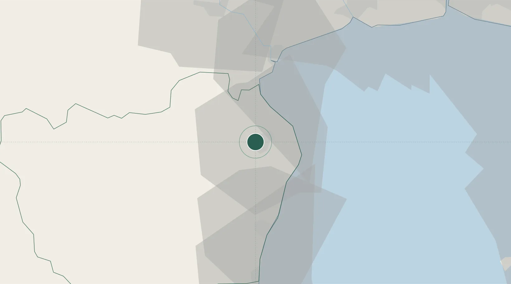
Location
Nearby Logistics Neighbours
Cities
- 1Ban Laem18 km
- 2Mae Klong30 km
- 3Ratchaburi51 km
- 4Photharam66 km
- 5Ekachai Container Terminal67 km
Ports
- 1Bangkok94 km
- 2Ko Si Chang Terminal94 km
- 3Laem Chabang101 km
- 4Siam Seaport101 km
- 5Si Racha Terminal105 km
Airports
- 1Hua Hin Airport52 km
- 2Suvarnabhumi Airport108 km
- 3Kamphaeng Saen Airport112 km
- 4Don Mueang International Airport115 km
- 5U-Tapao–Rayong–Pattaya International Airport124 km
Trade Zones
DatabookThe Record of Consolidated Knowledge
Thailand beyond logistics?